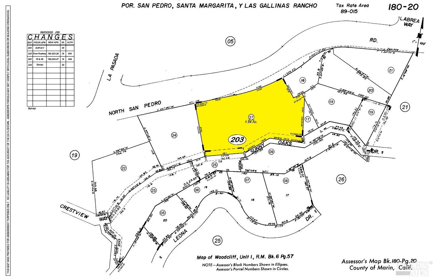
110 Sunny Oaks Drive
Property details
Location
Neighborhood Context
Cafes: Banh Mi Zon (1.2 mi), Bagel Street Cafe (1.7 mi), Starbucks (1.7 mi), Jelly Donuts (1.7 mi), Cup Of Gold (2.7 mi). Restaurants: The Habit (1.5 mi), Applebee's (1.6 mi), BJ's (1.6 mi), Roadside BBQ (1.7 mi), Round Table Pizza (1.7 mi). Bars: State Room (2.7 mi). Parks: John F McInnis County Park (0.7 mi), Mont Marin Park (1.9 mi), MVMCC (2.3 mi), Victor Jones Park (2.3 mi), Peacock Gap Neighborhood Park (2.6 mi). Schools: McPhail School (0.4 mi), The Marin School (1.0 mi), Saint Raphael's School (2.6 mi), San Rafael Adult Education School (2.7 mi), West End School (2.7 mi). Libraries: Marin County Library (1.2 mi). Grocery: Safeway (1.8 mi), Marinwood Market (2.0 mi), Andy's Sun Valley Market (2.7 mi), Trader Joe's (2.9 mi), Jasmine Market Mediterranean Groceries (2.9 mi). Transit: Marin Civic Center (1.4 mi), Terra Linda Bus Pad (1.4 mi), North San Pedro Road Bus Pad (1.4 mi), Lucas Valley Bus Pad (1.4 mi), Marinwood Bus Pad (2.0 mi). Gyms: San Rafael Barbell (3.1 mi). Pharmacies: Rite Aid (1.5 mi), Walgreens (1.7 mi), Walgreens (2.7 mi). Medical: Marin Health Urgent Care (1.3 mi), Passport Health San Rafael Travel Clinic (1.4 mi). Nearest freeway: Redwood Highway (1.4 mi)
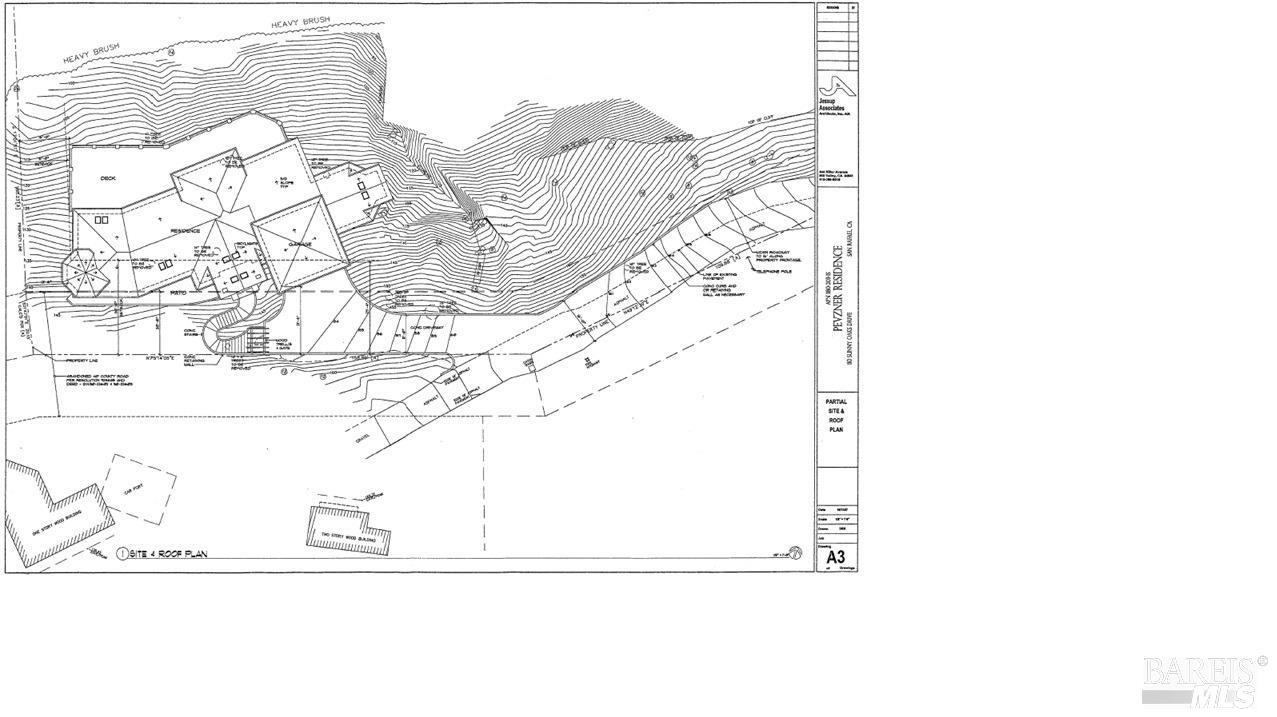
Aerial Description
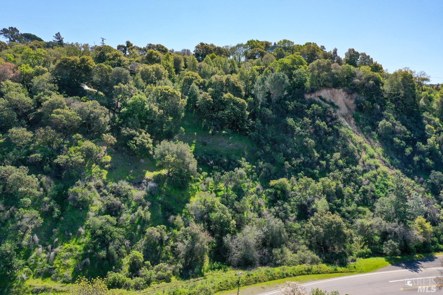
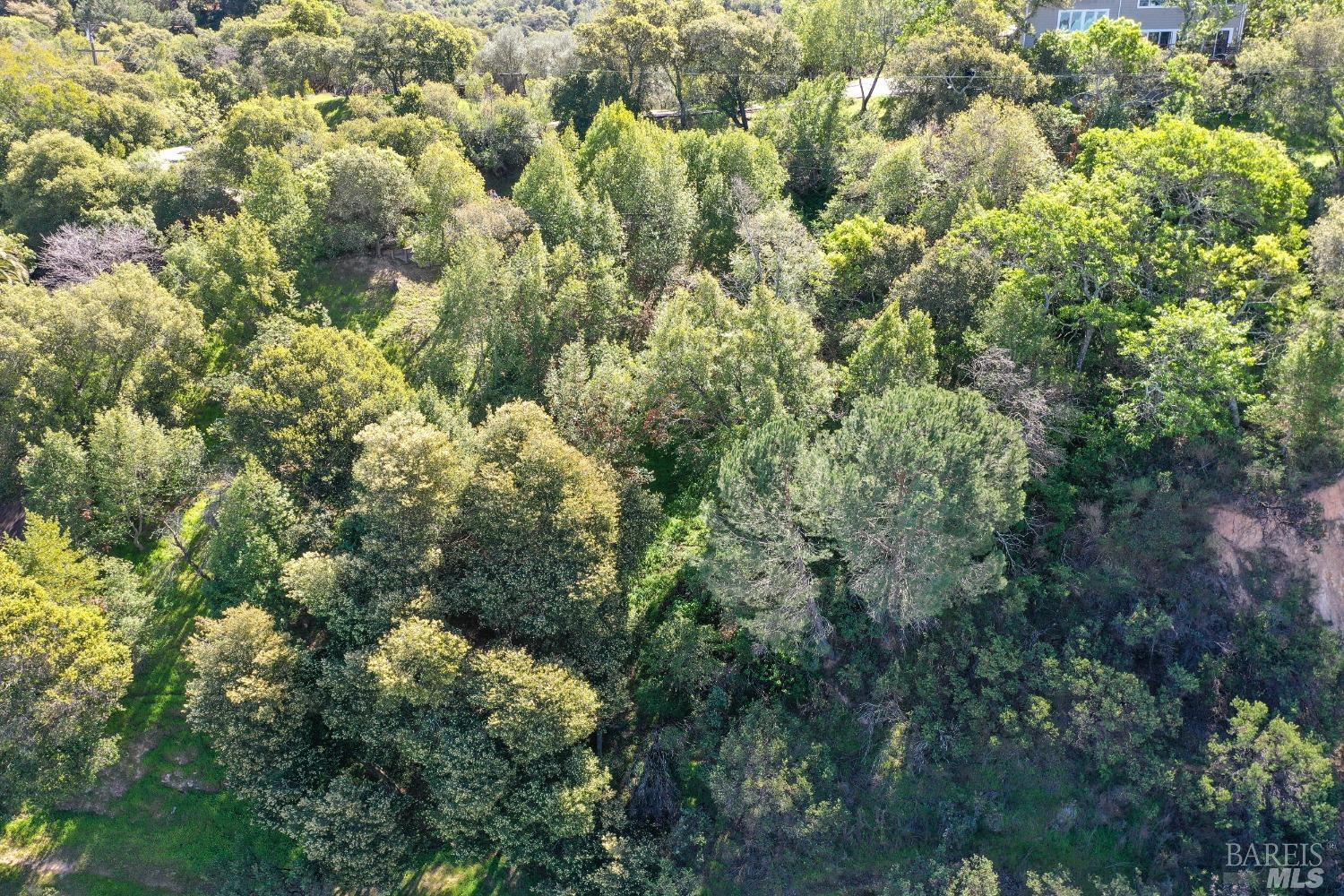
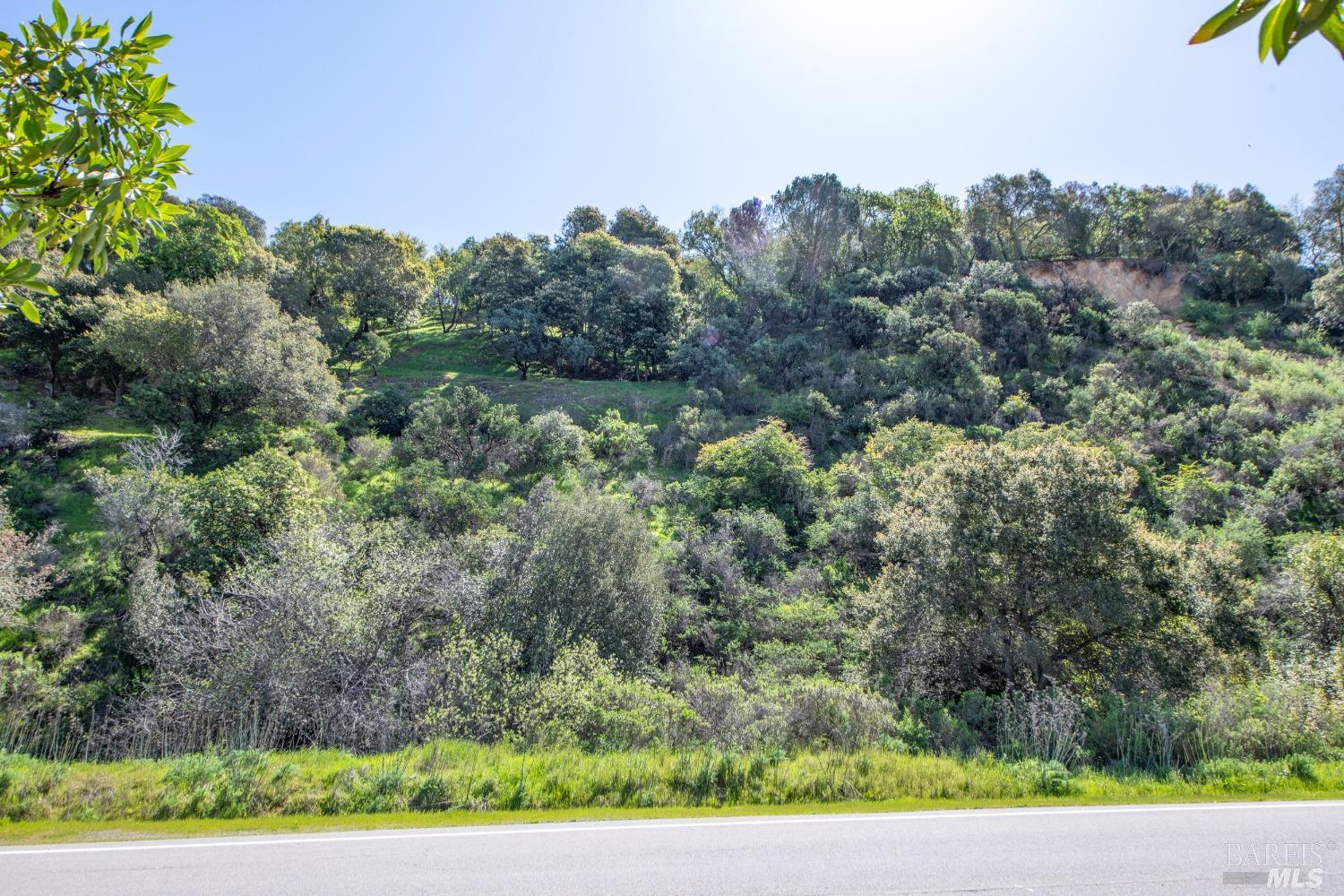
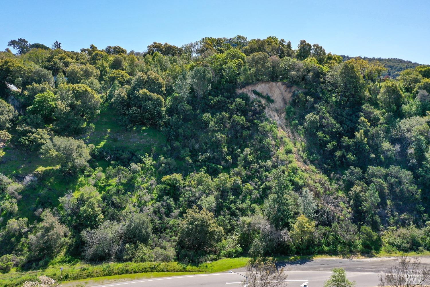
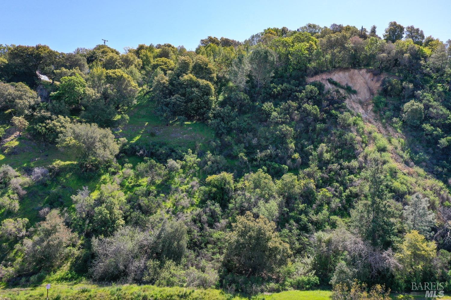
The residential property appears to be surrounded by dense, natural vegetation, with no other houses or developed areas immediately visible on any side. The backyard is bordered by what appears to be open, wild space with trees and scrub. Visible lot features include several large trees and patches of dense vegetation. The lot's shape and size are difficult to determine precisely, but it seems to be integrated within a more natural landscape than a typical suburban neighborhood. No streets, driveways, paved areas, or outbuildings are clearly discernible in relation to the property.
Image Descriptions (10)
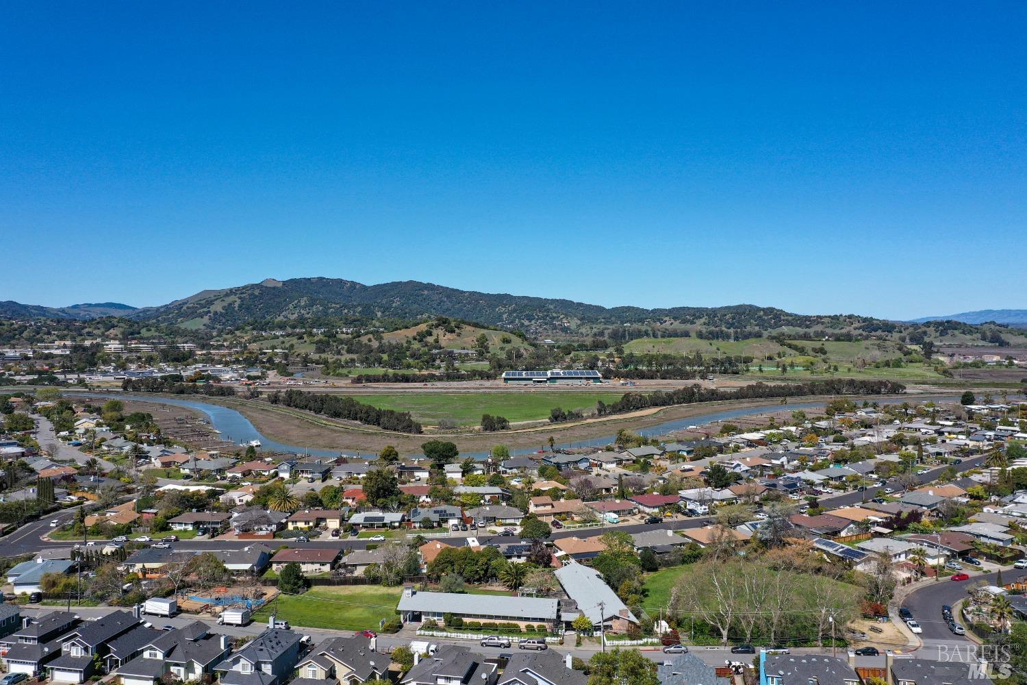
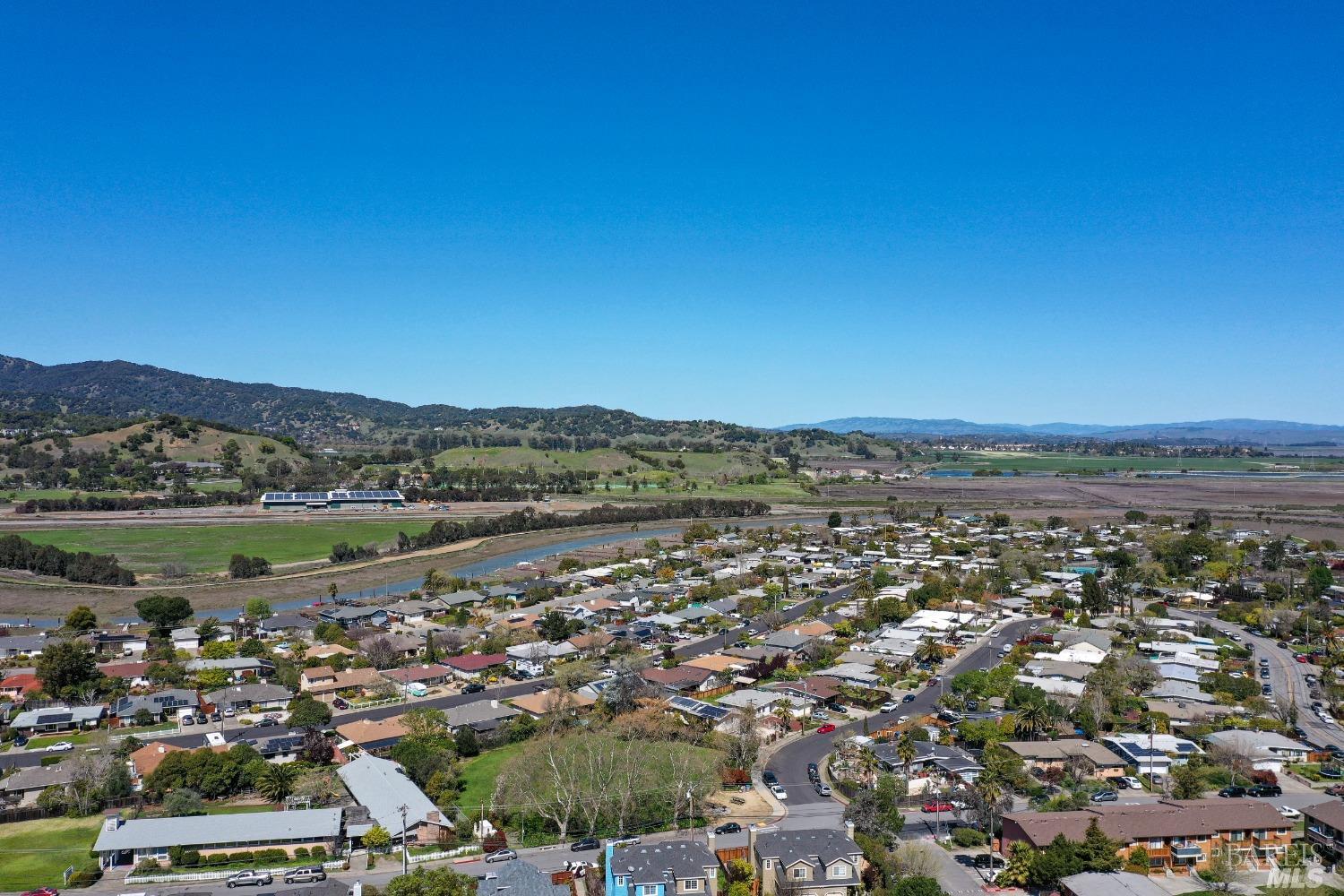
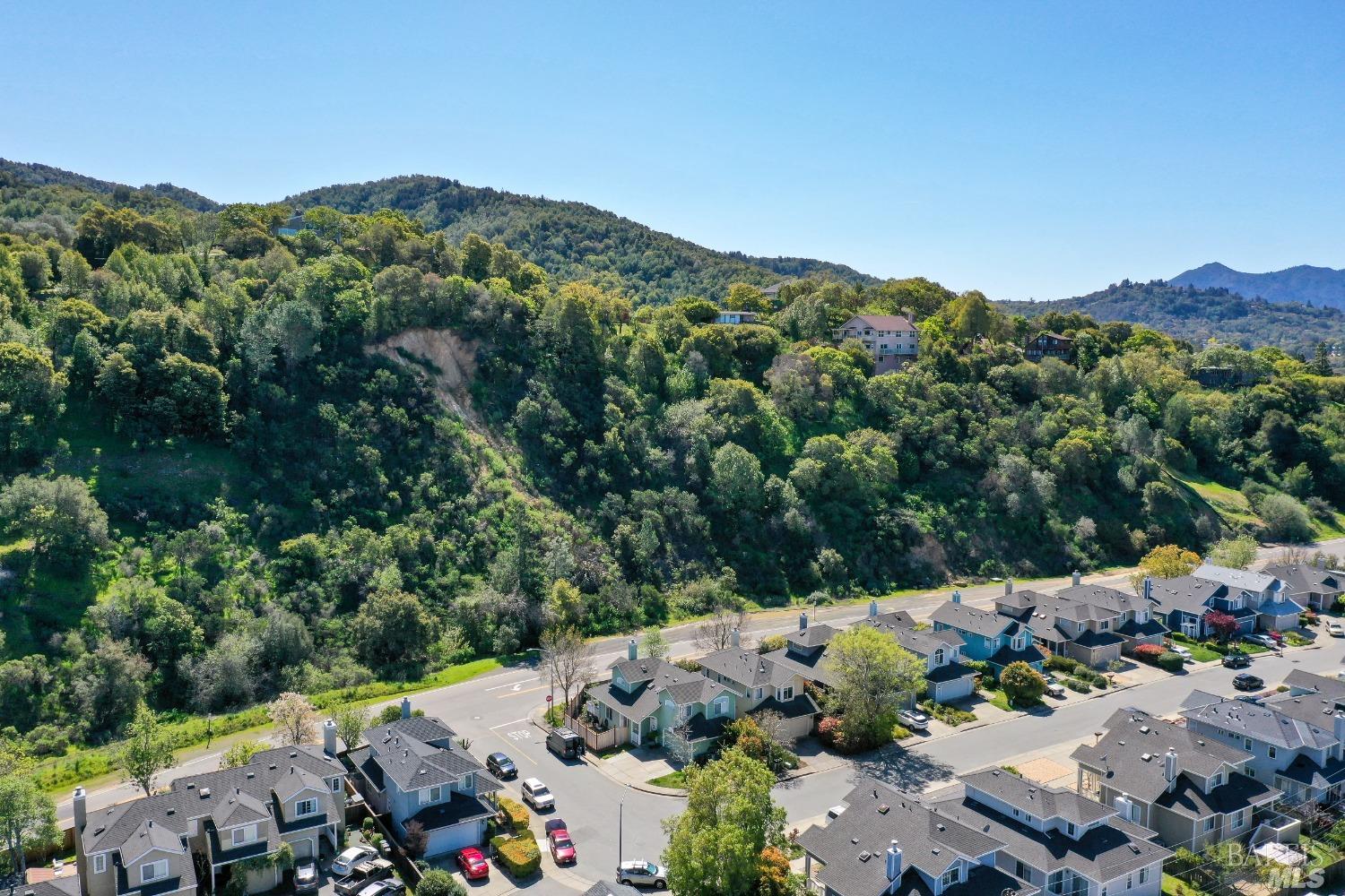
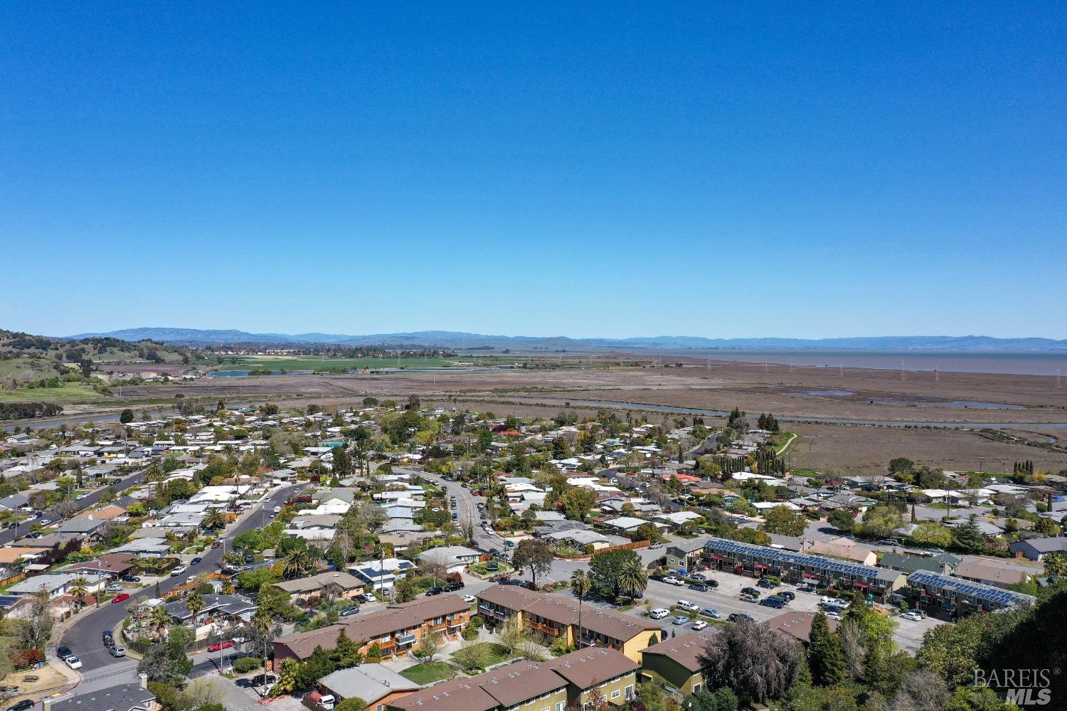
This aerial view showcases a suburban neighborhood with various residential structures featuring asphalt shingle roofs and visible driveways. The surrounding landscape is characterized by lush green hillsides dotted with trees, a paved road, and a power line corridor. The neighborhood appears to be situated in a natural, hilly terrain.
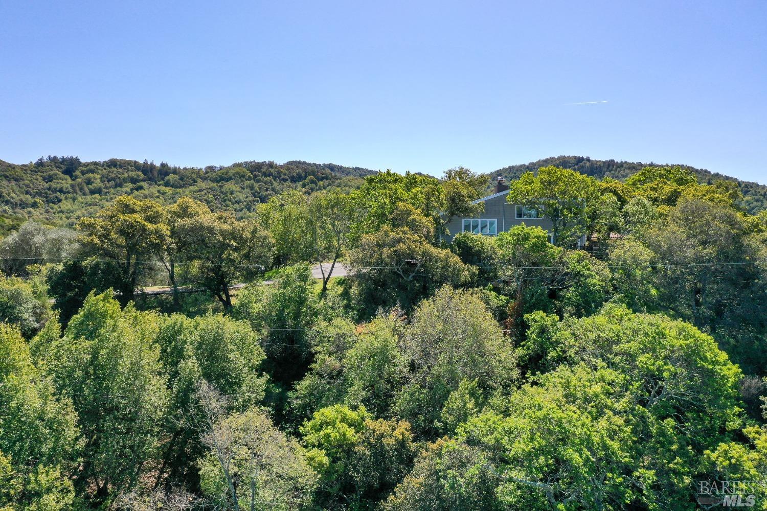
An elevated perspective reveals a residential house nestled amongst dense green foliage and trees. The house has a light-colored siding and a pitched roof. The surrounding environment is a verdant hillside with a clear blue sky overhead.
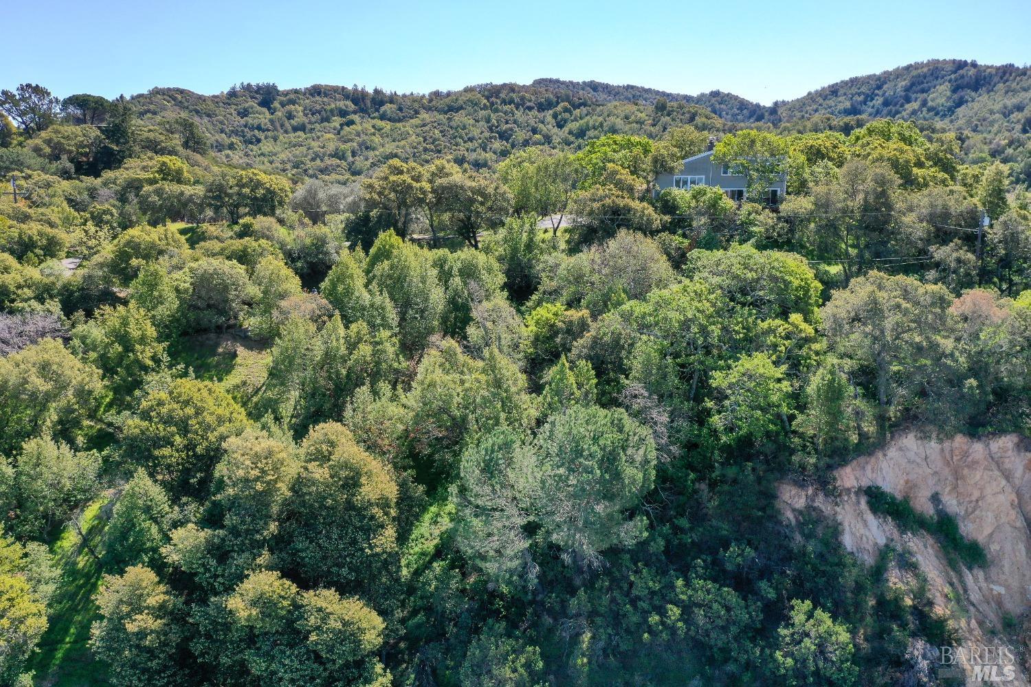
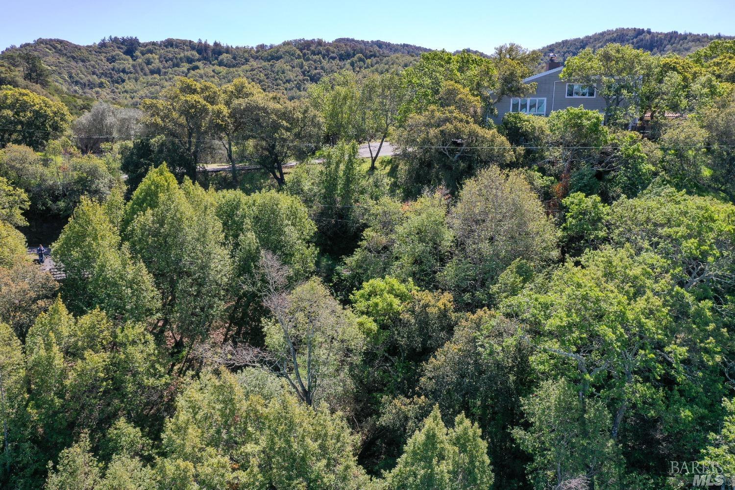
This aerial view showcases the property nestled amidst rolling hills and mature trees. A portion of the house is visible, appearing to be a traditional-style home situated on a slope. The surrounding landscape consists of dense greenery and natural terrain.
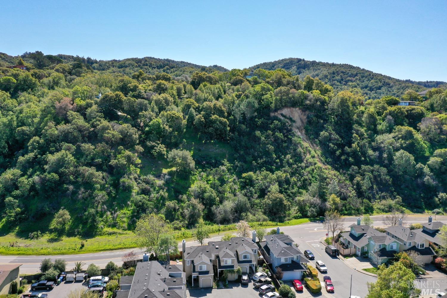
This wider aerial perspective shows multiple townhomes with pitched roofs and what appear to be attached garages. The townhomes are located in a developed community with paved roads and parking areas. The backdrop is characterized by tree-covered hills, indicating a semi-rural setting.
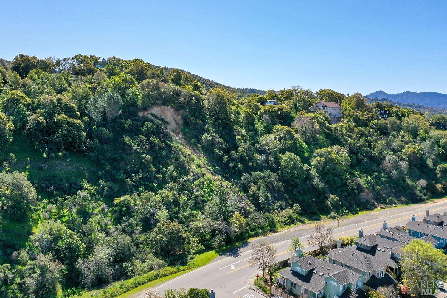
This expansive aerial shot displays a residential community with rows of houses, each with distinct rooflines and visible driveways, situated at the base of a steep, tree-covered hillside. A paved road runs alongside the development, with a small creek or drainage channel visible in the foreground. The overall impression is of a well-established suburban area integrated with its natural surroundings.
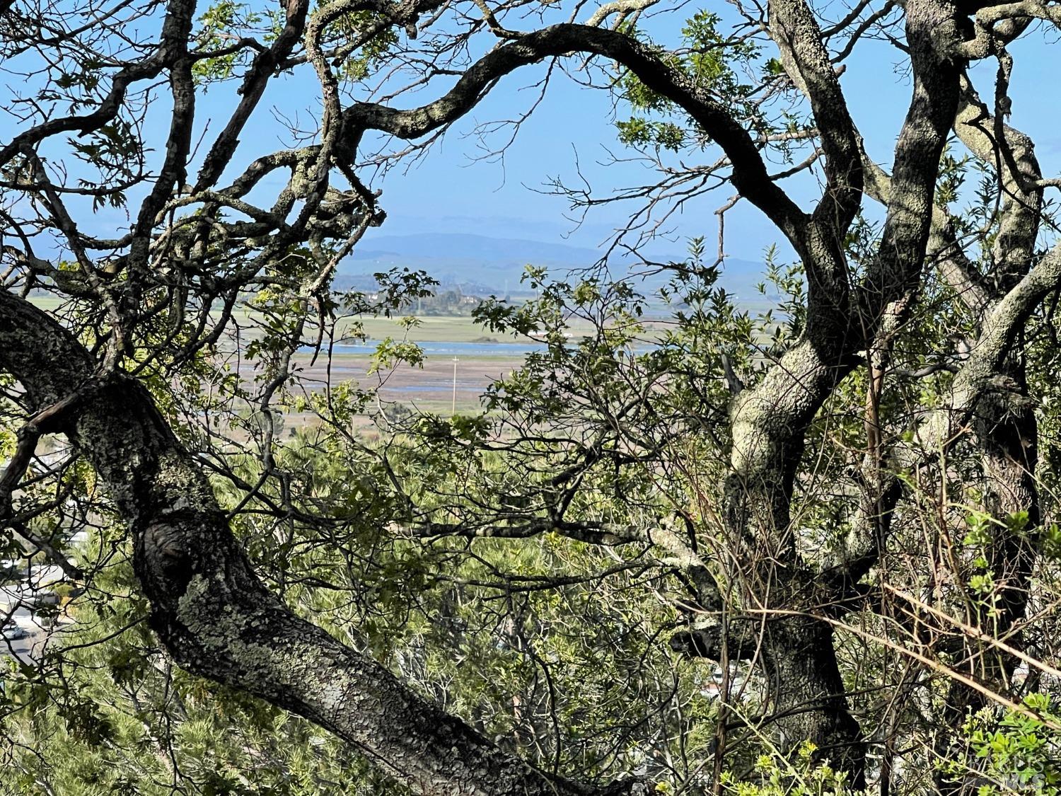
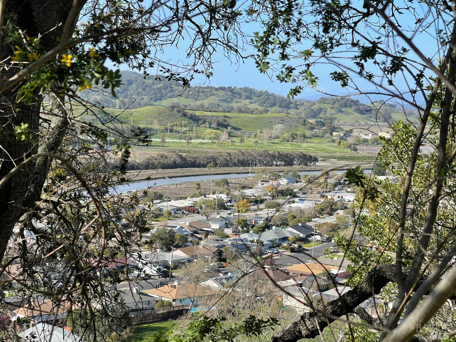
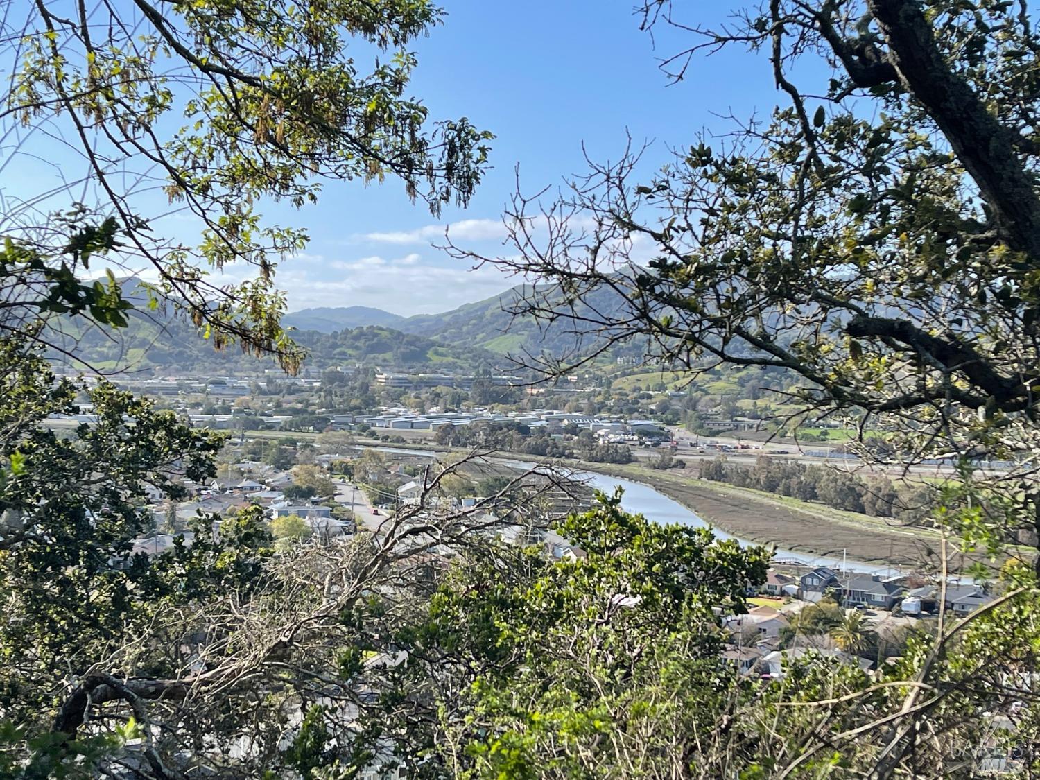
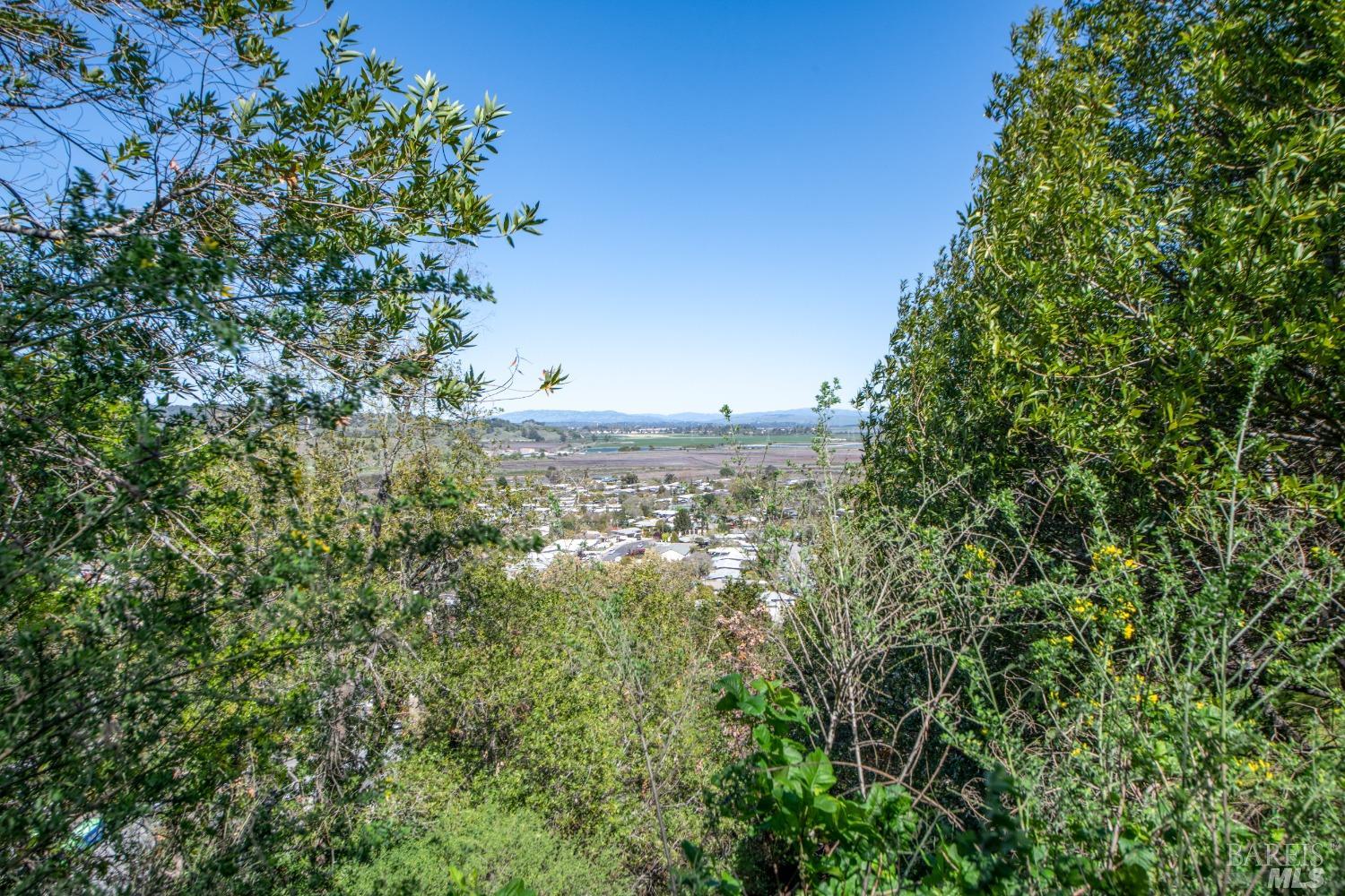
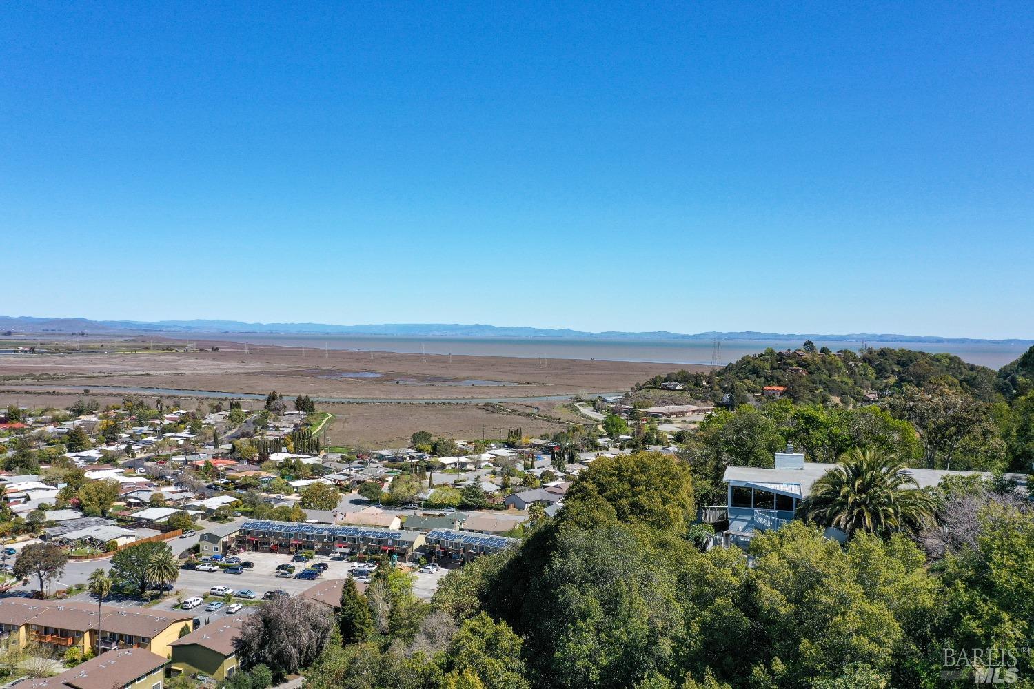
A panoramic view of a town and valley is visible through the intricate branches of trees in the foreground. The landscape includes residential buildings, a body of water, and rolling green hills in the distance under a clear blue sky. The framing by the branches suggests this is a scenic overlook.
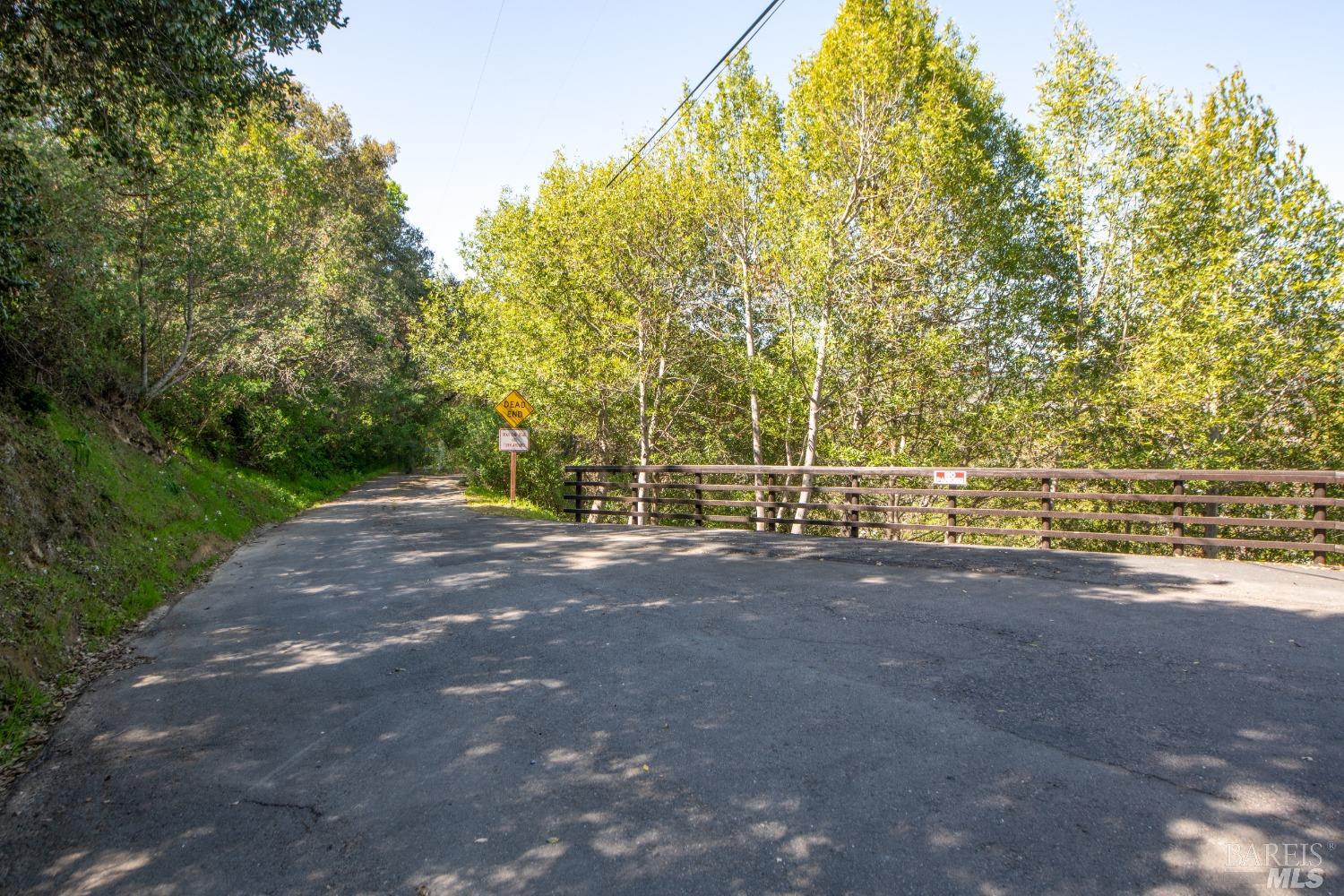
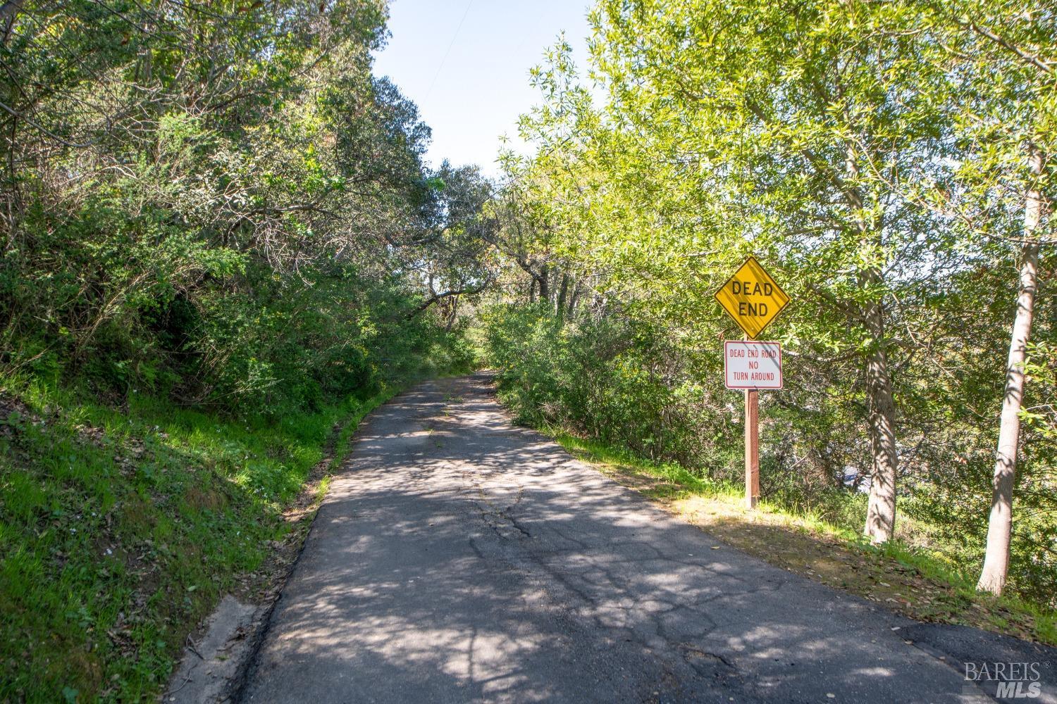
A paved driveway leads towards a wooden rail fence, suggesting an entrance to a property or private road. The area is densely wooded with mature trees and underbrush, indicating a natural and somewhat secluded setting. The road surface shows signs of wear, with visible cracks.
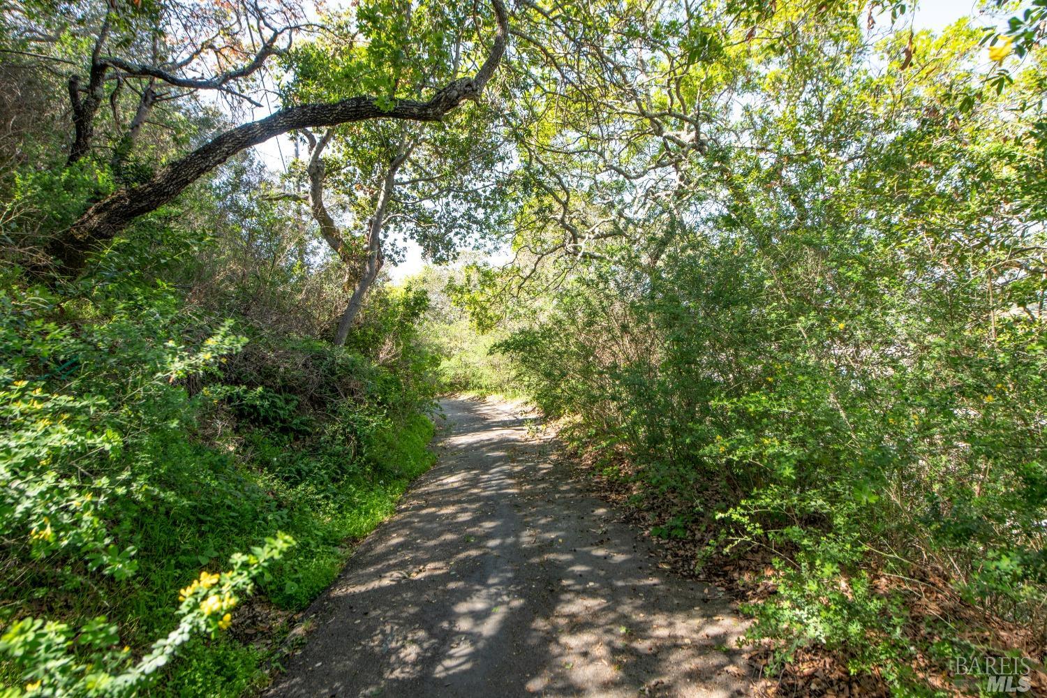
A winding path, made of dark, compacted material, leads through a dense natural environment. The path is bordered by thick vegetation, including green bushes and the branches of trees that create a shaded canopy overhead. The scene conveys a sense of being within a natural, undeveloped area.
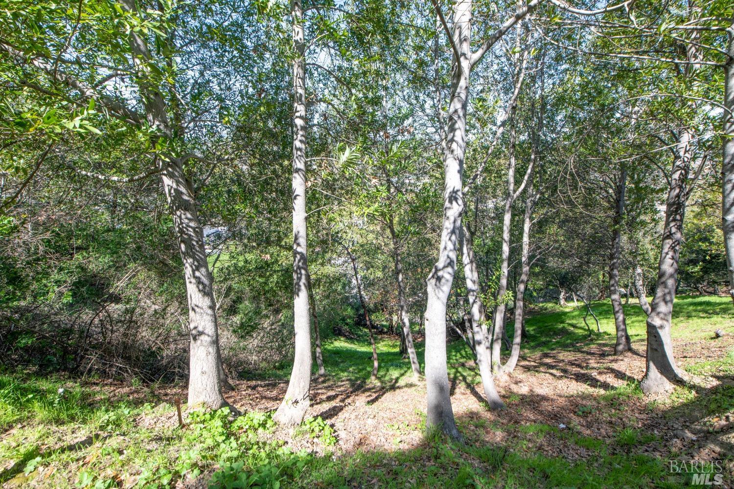
Several mature trees with light-colored bark stand in a grassy clearing. The ground is covered with green grass and fallen leaves. The surrounding area is densely vegetated, creating a natural and somewhat wooded atmosphere.
Distant views of a body of water and expansive, rolling hills are seen through the textured branches of mature trees. The foreground is dominated by the organic shapes of the tree limbs, creating a natural frame for the scenic vista. This perspective suggests a location with natural beauty and a connection to the surrounding environment.
Embedding Input Text
110 Sunny Oaks Drive, San Rafael, CA 94903. 1.83 acre lot. Land. Cafes: Banh Mi Zon (1.2 mi), Bagel Street Cafe (1.7 mi), Starbucks (1.7 mi), Jelly Donuts (1.7 mi), Cup Of Gold (2.7 mi). Restaurants: The Habit (1.5 mi), Applebee's (1.6 mi), BJ's (1.6 mi), Roadside BBQ (1.7 mi), Round Table Pizza (1.7 mi). Bars: State Room (2.7 mi). Parks: John F McInnis County Park (0.7 mi), Mont Marin Park (1.9 mi), MVMCC (2.3 mi), Victor Jones Park (2.3 mi), Peacock Gap Neighborhood Park (2.6 mi). Schools: McPhail School (0.4 mi), The Marin School (1.0 mi), Saint Raphael's School (2.6 mi), San Rafael Adult Education School (2.7 mi), West End School (2.7 mi). Libraries: Marin County Library (1.2 mi). Grocery: Safeway (1.8 mi), Marinwood Market (2.0 mi), Andy's Sun Valley Market (2.7 mi), Trader Joe's (2.9 mi), Jasmine Market Mediterranean Groceries (2.9 mi). Transit: Marin Civic Center (1.4 mi), Terra Linda Bus Pad (1.4 mi), North San Pedro Road Bus Pad (1.4 mi), Lucas Valley Bus Pad (1.4 mi), Marinwood Bus Pad (2.0 mi). Gyms: San Rafael Barbell (3.1 mi). Pharmacies: Rite Aid (1.5 mi), Walgreens (1.7 mi), Walgreens (2.7 mi). Medical: Marin Health Urgent Care (1.3 mi), Passport Health San Rafael Travel Clinic (1.4 mi). Nearest freeway: Redwood Highway (1.4 mi). The residential property appears to be surrounded by dense, natural vegetation, with no other houses or developed areas immediately visible on any side. The backyard is bordered by what appears to be open, wild space with trees and scrub. Visible lot features include several large trees and patches of dense vegetation. The lot's shape and size are difficult to determine precisely, but it seems to be integrated within a more natural landscape than a typical suburban neighborhood. No streets, driveways, paved areas, or outbuildings are clearly discernible in relation to the property.. This aerial view showcases a suburban neighborhood with various residential structures featuring asphalt shingle roofs and visible driveways. The surrounding landscape is characterized by lush green hillsides dotted with trees, a paved road, and a power line corridor. The neighborhood appears to be situated in a natural, hilly terrain.. An elevated perspective reveals a residential house nestled amongst dense green foliage and trees. The house has a light-colored siding and a pitched roof. The surrounding environment is a verdant hillside with a clear blue sky overhead.. This aerial view showcases the property nestled amidst rolling hills and mature trees. A portion of the house is visible, appearing to be a traditional-style home situated on a slope. The surrounding landscape consists of dense greenery and natural terrain.. This wider aerial perspective shows multiple townhomes with pitched roofs and what appear to be attached garages. The townhomes are located in a developed community with paved roads and parking areas. The backdrop is characterized by tree-covered hills, indicating a semi-rural setting.. Distant views of a body of water and expansive, rolling hills are seen through the textured branches of mature trees. The foreground is dominated by the organic shapes of the tree limbs, creating a natural frame for the scenic vista. This perspective suggests a location with natural beauty and a connection to the surrounding environment.