57 Fair Drive
Property details
Location
Neighborhood Context
Nearest freeway: Redwood Highway (0.2 mi)
Aerial Description
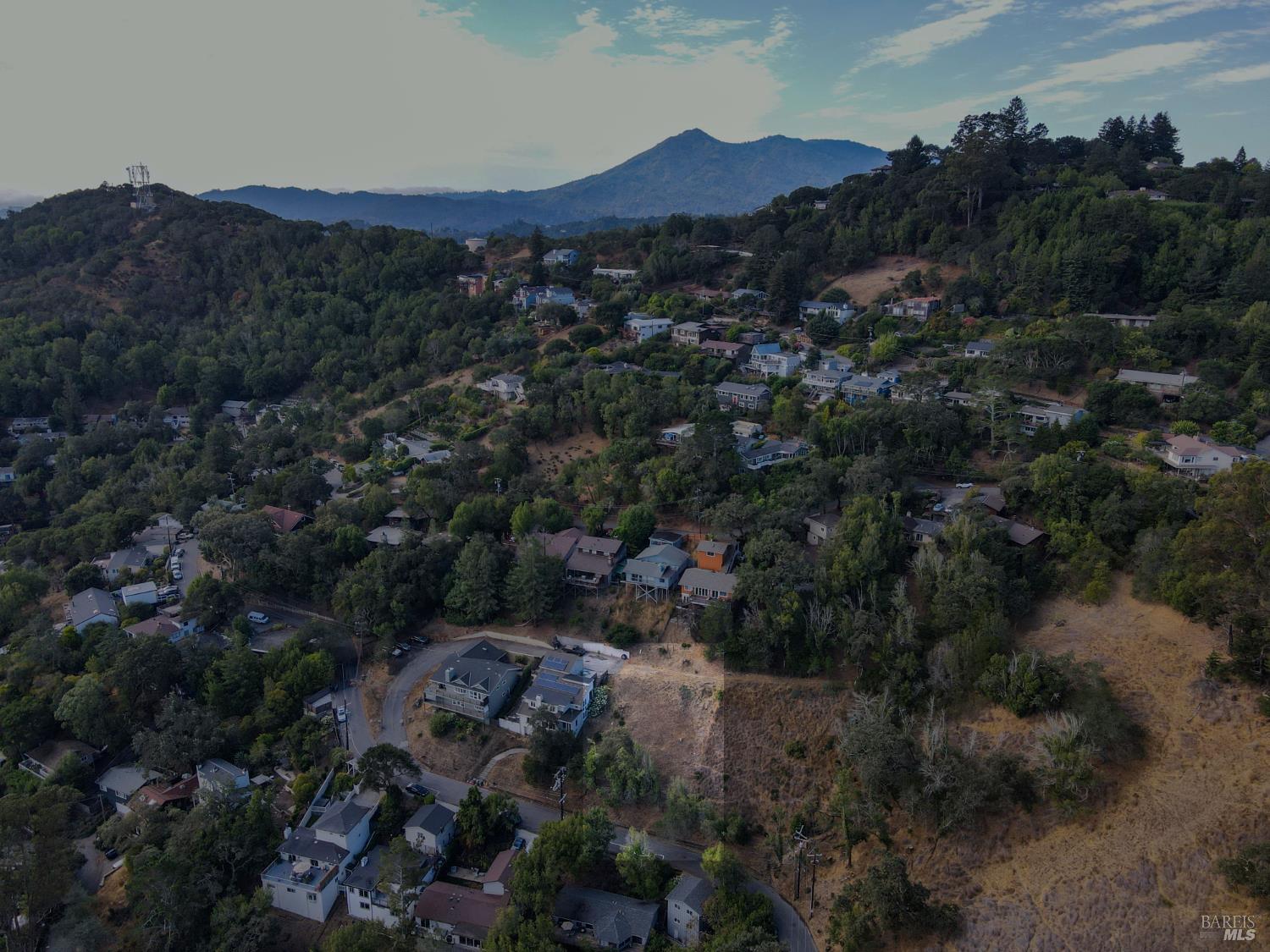
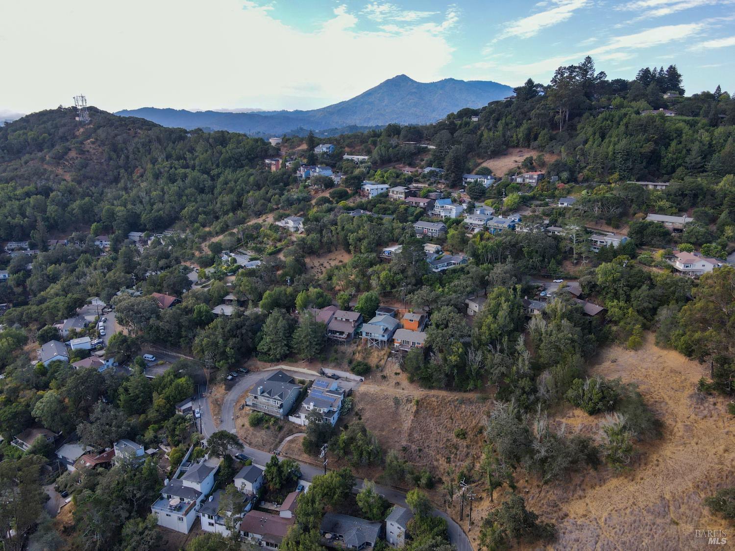
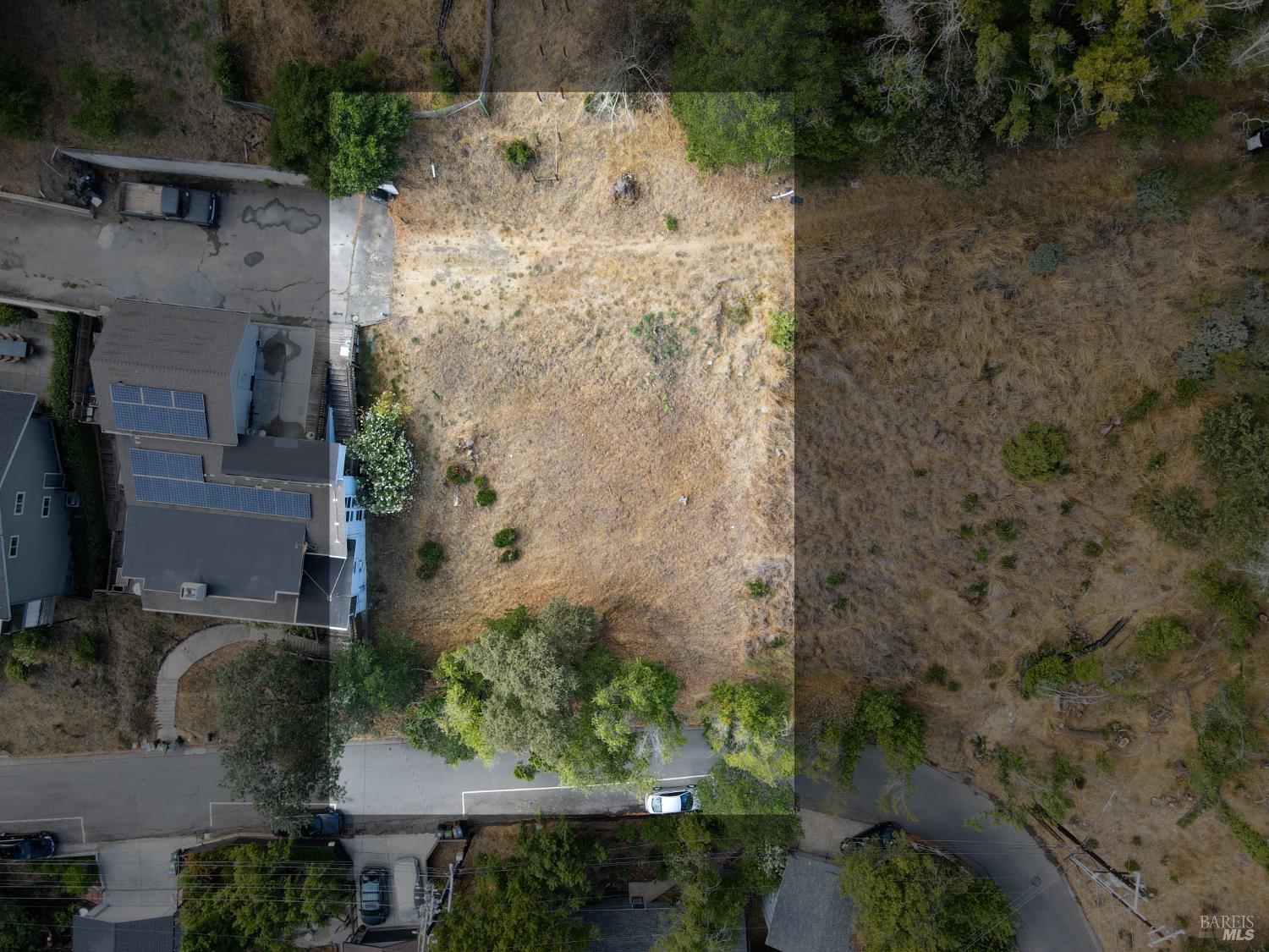
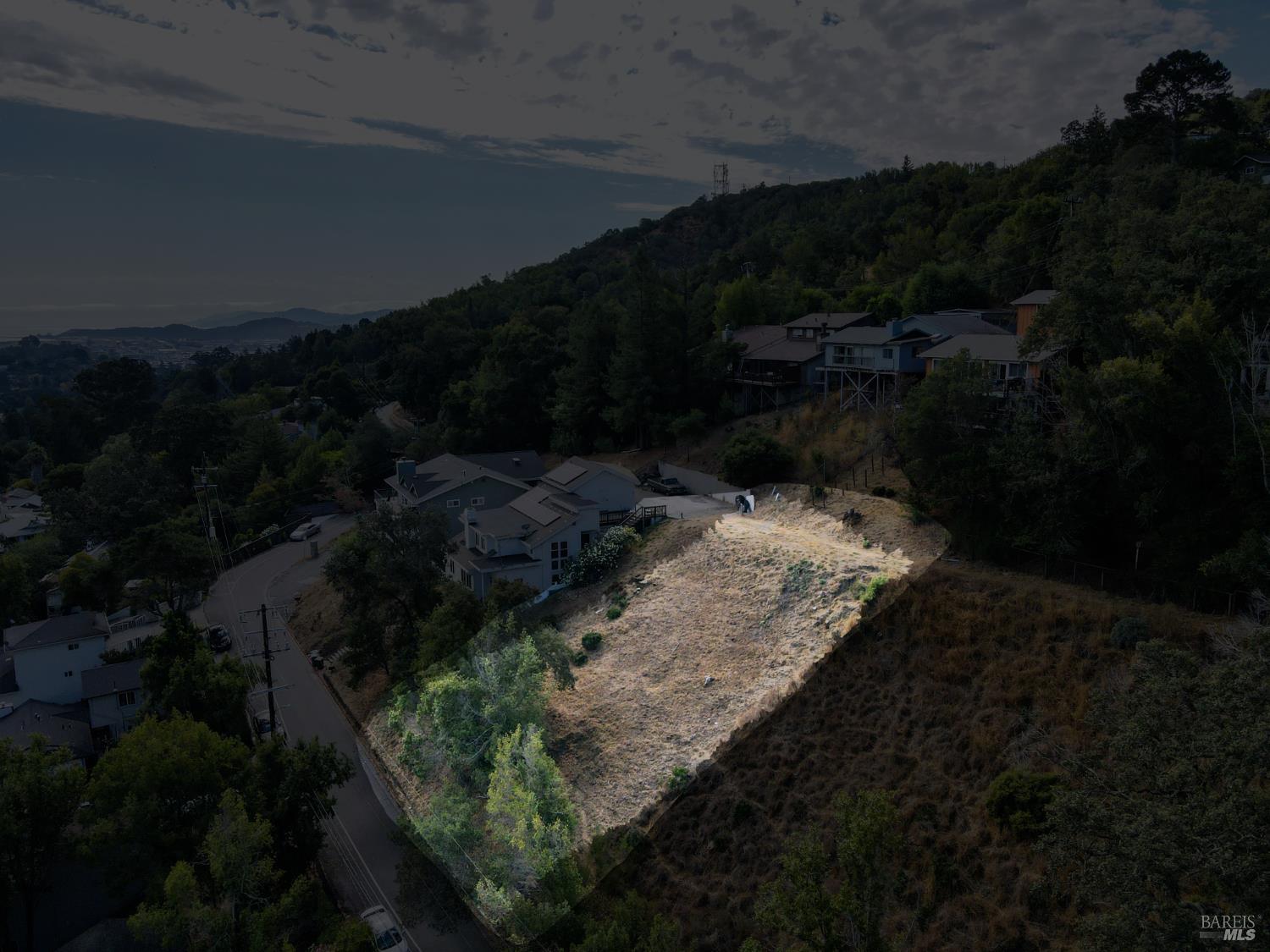
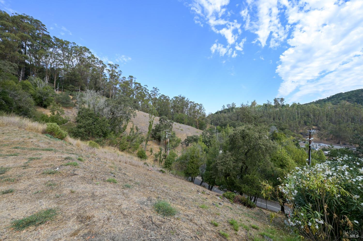
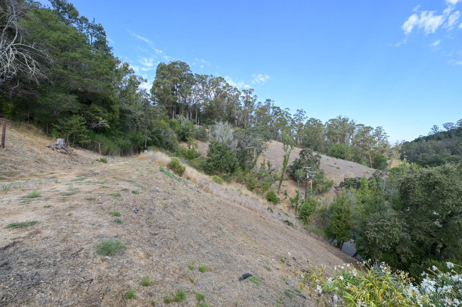
The residential property is situated in a moderately dense neighborhood with homes interspersed among trees and vegetation. Directly behind the property, to the north and east, is dense woodland and other residential backyards. To the west, the property borders a large, undeveloped grassy area. A paved driveway leads from a through street to the property's south, and other houses are visible across this street. The lot appears to have a fairly regular shape and is of a comparable size to its immediate neighbors.
Image Descriptions (8)
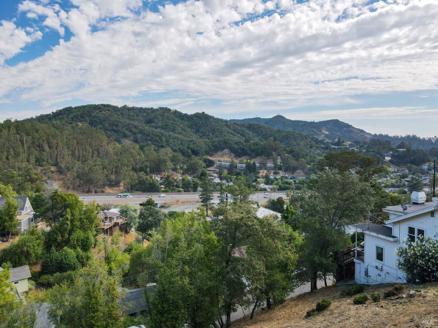
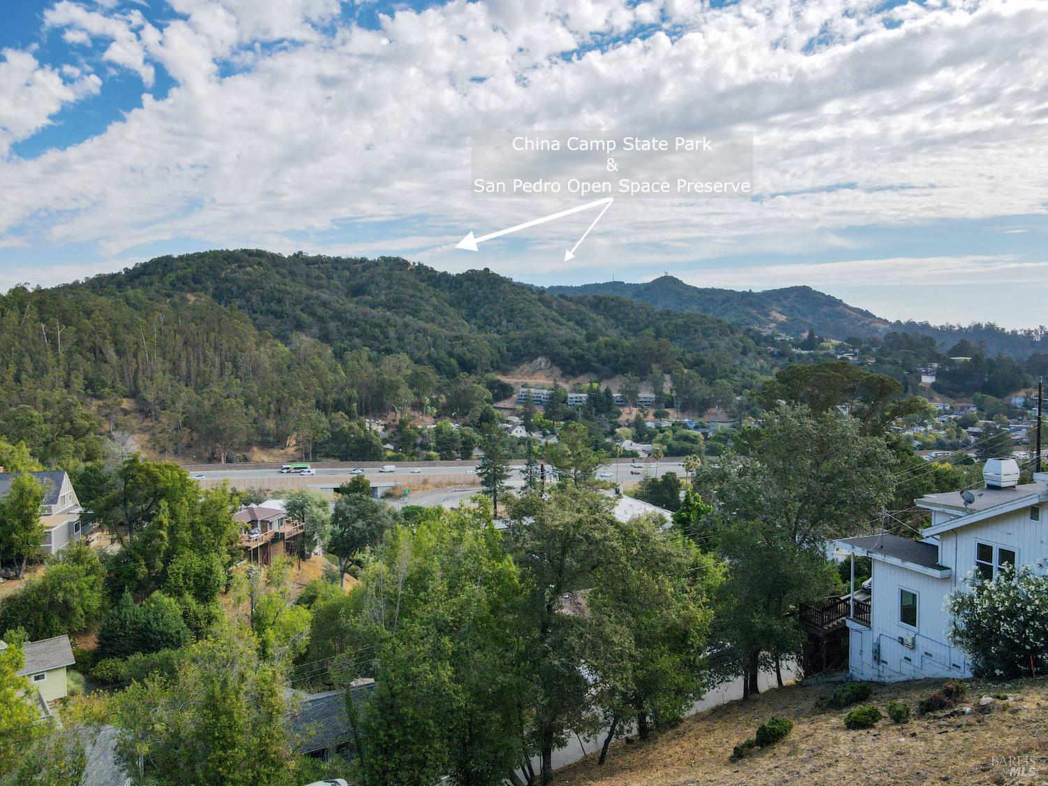
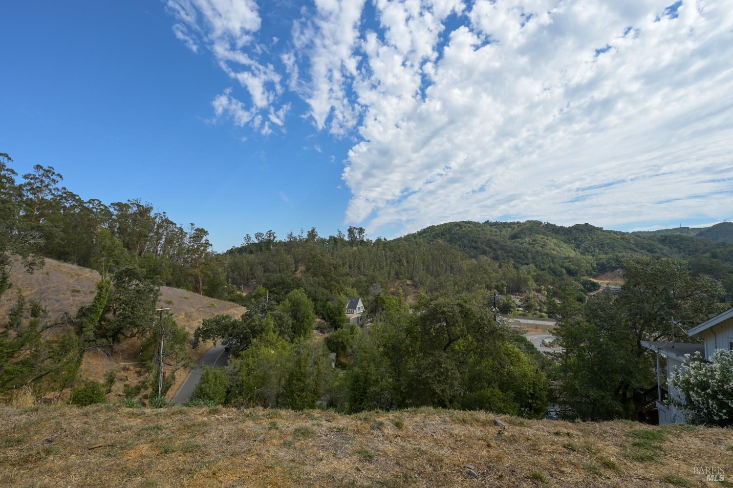
This aerial shot offers a panoramic vista of the surrounding landscape, characterized by rolling hills covered in trees and dry grass. A light-colored building with a large deck is visible on the right, positioned on a slightly elevated lot. The overall impression is one of natural beauty and open space.
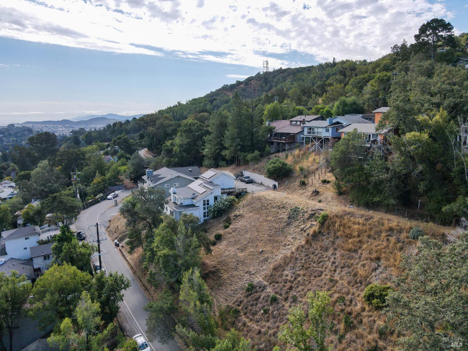
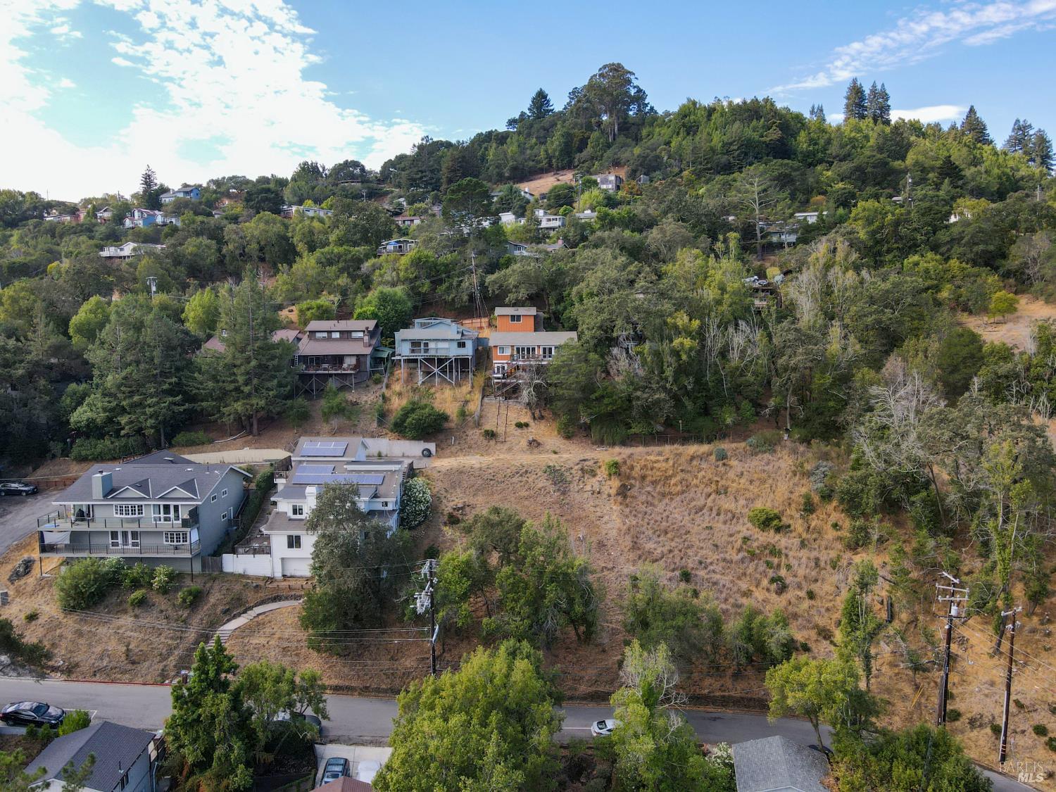
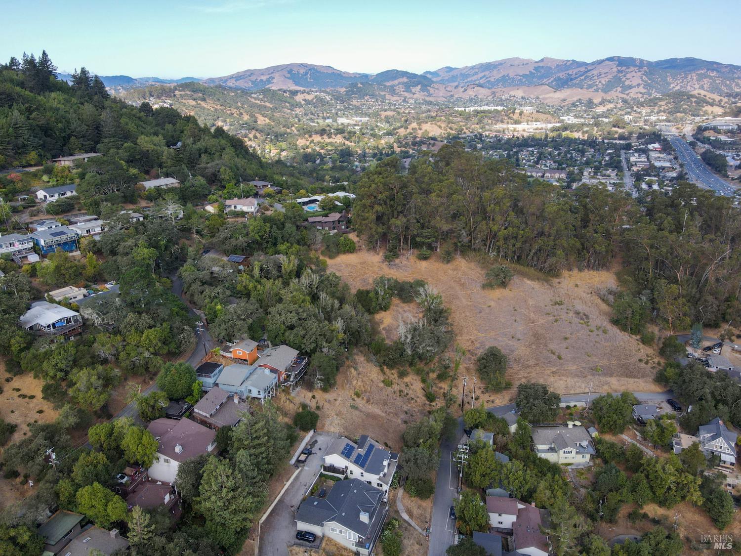
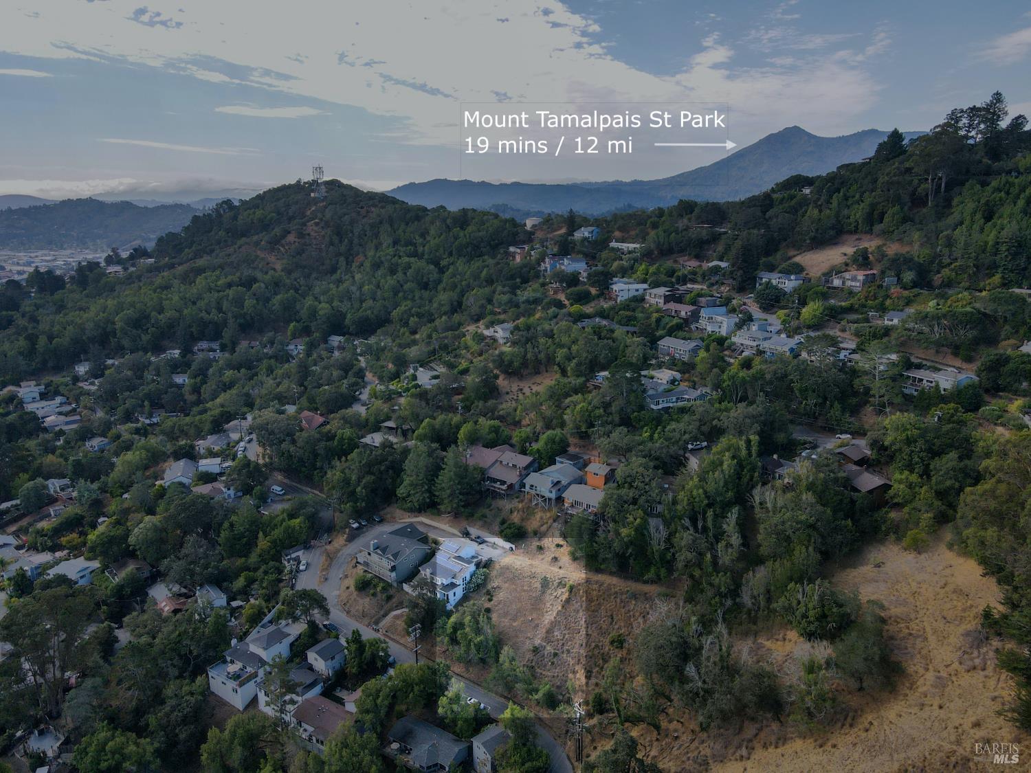
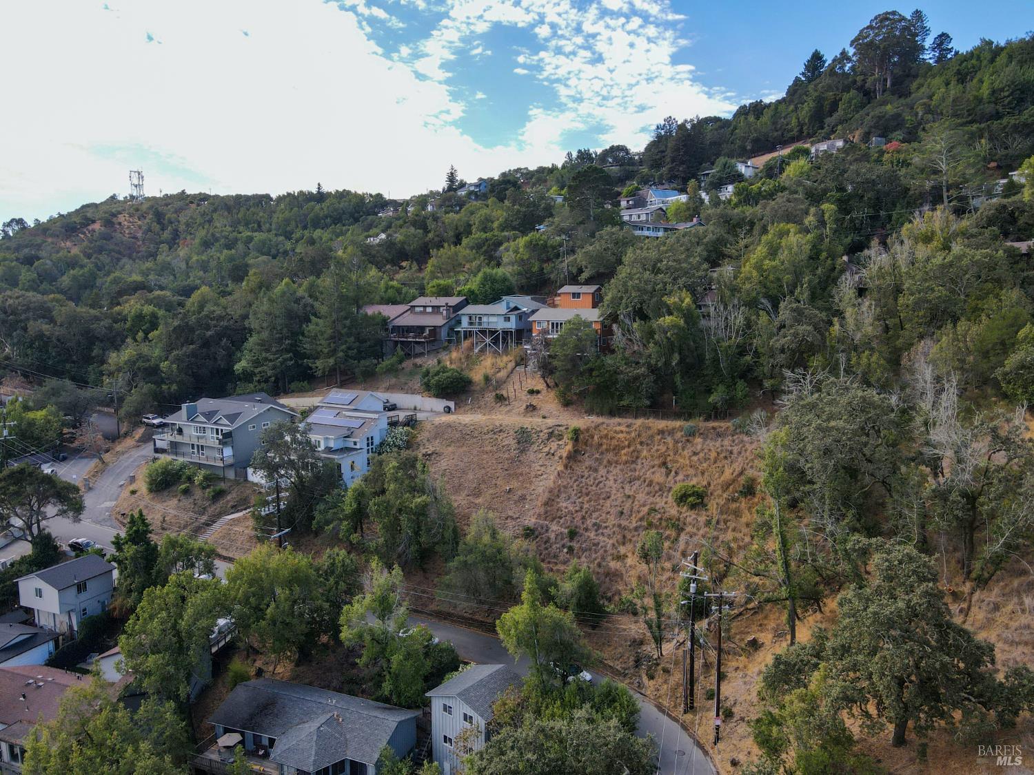
This aerial view revisits the cluster of homes on the hillside, emphasizing the varying architectural styles and placements. Solar panels are evident on the roofs of several properties, indicating modern upgrades. The terrain remains rugged with significant tree cover.
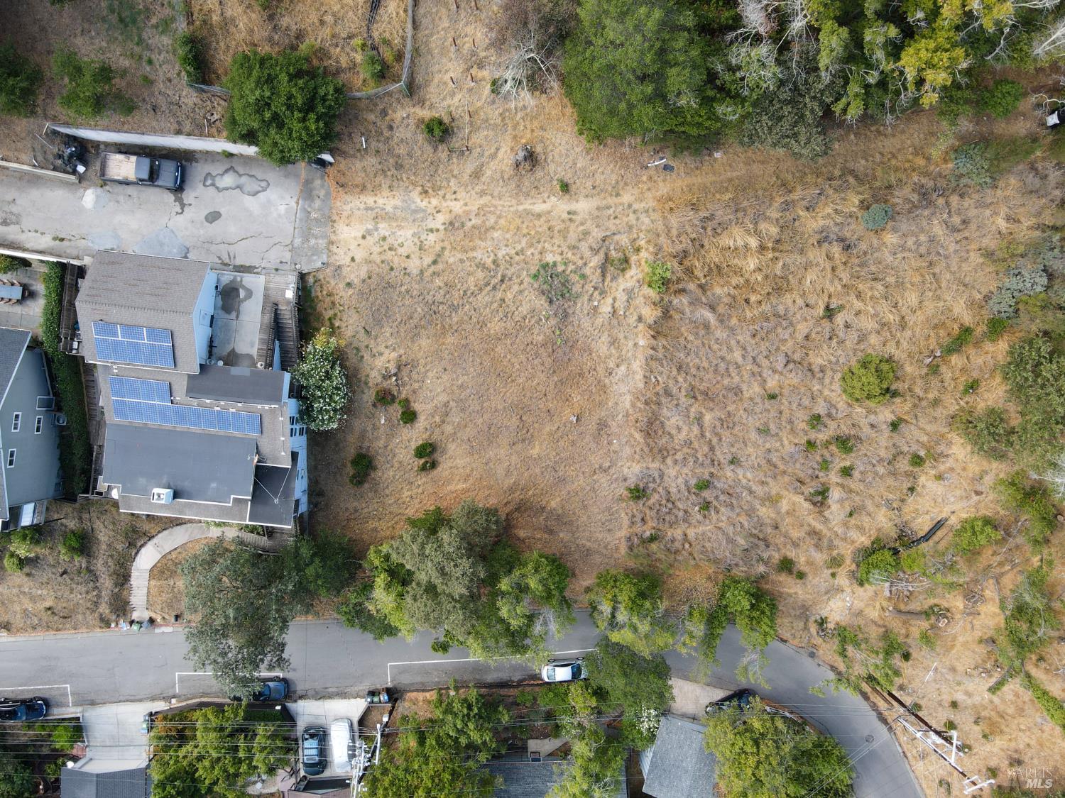
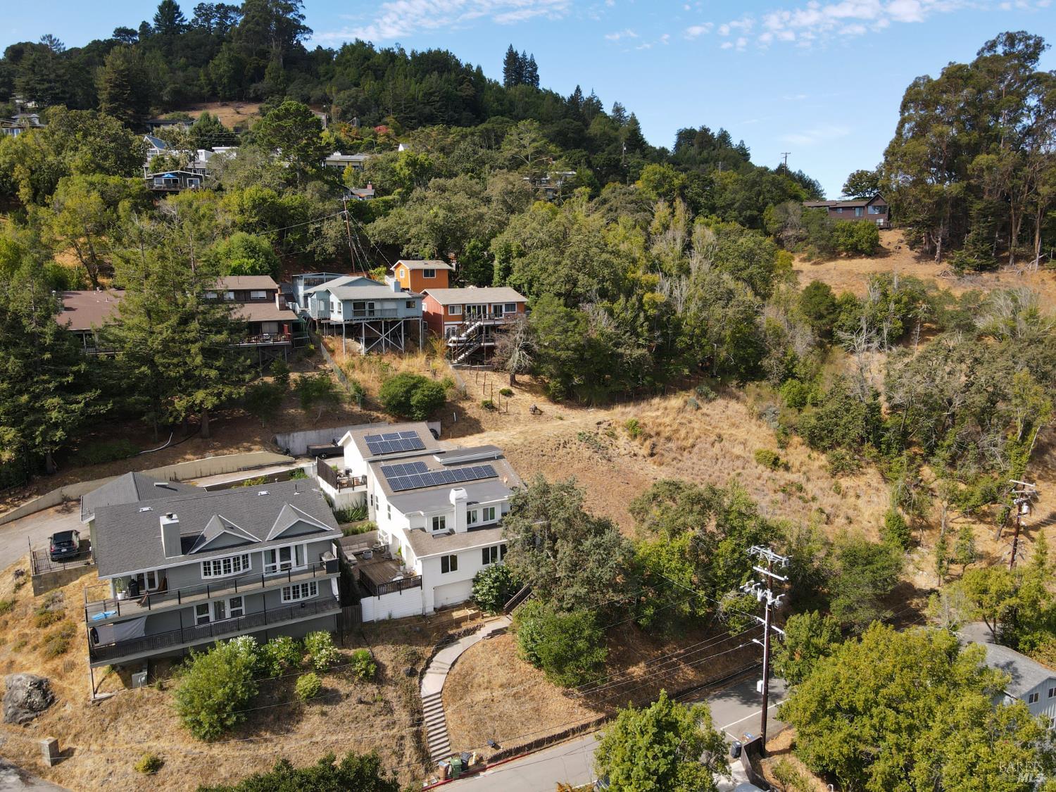
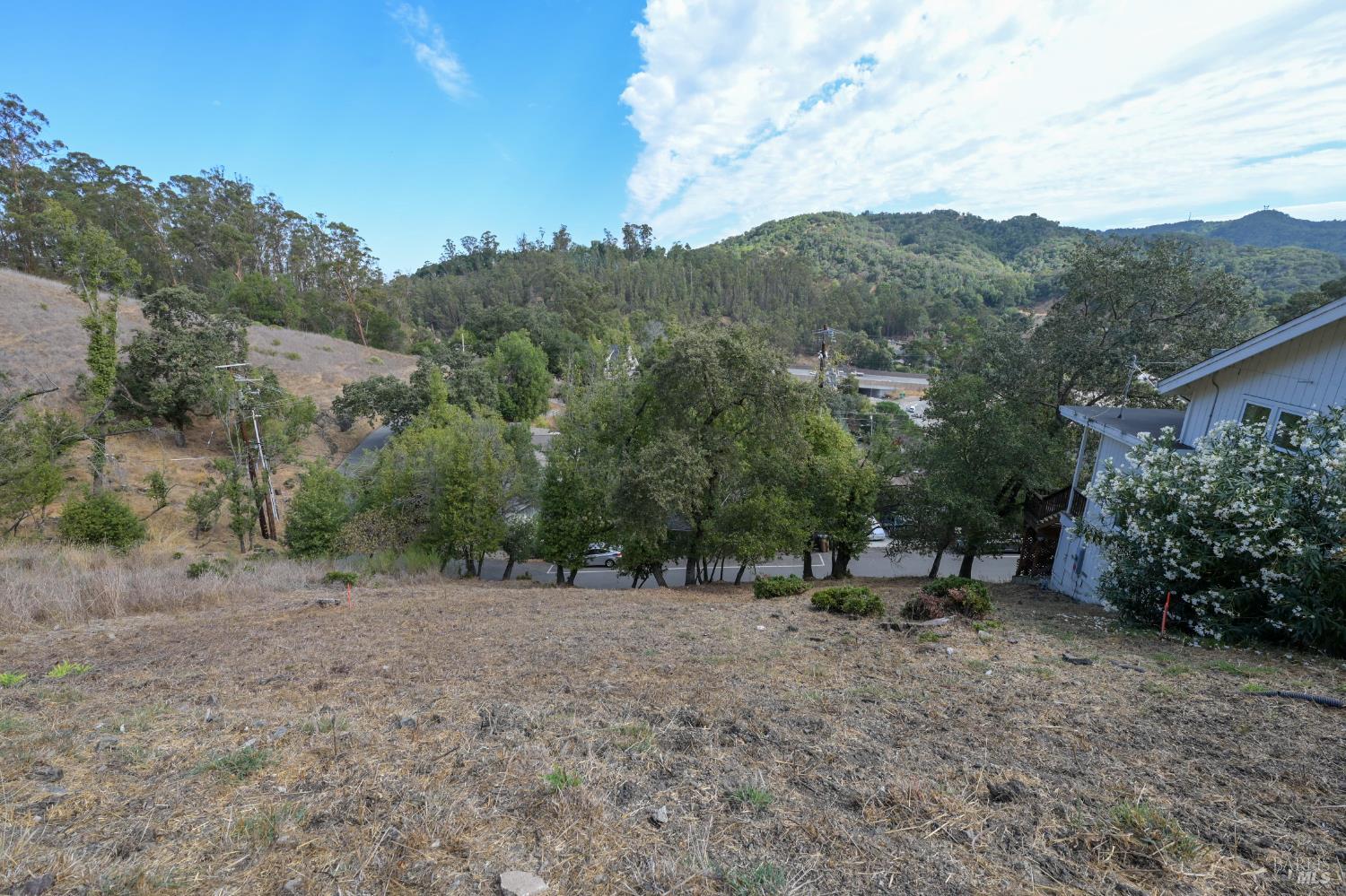
This overhead view captures a parcel of land characterized by dry, sparse vegetation. Adjacent properties show dark-tiled roofs and solar panels. A paved area, possibly a driveway, is visible on the left, alongside a section of a home with blue siding.
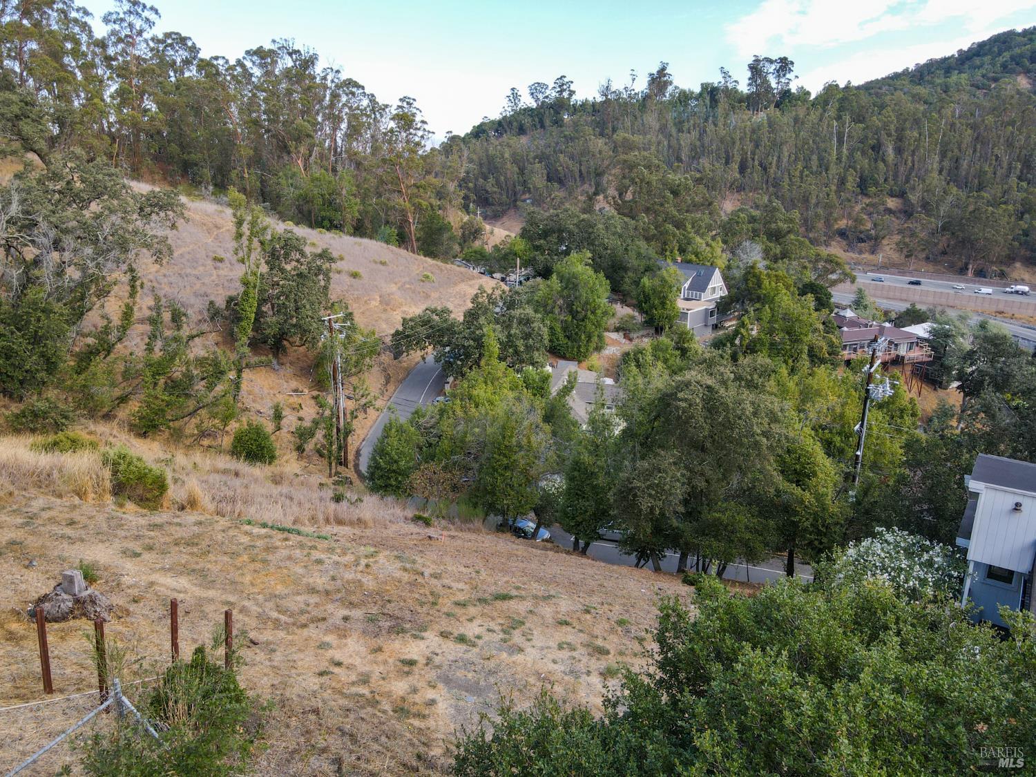
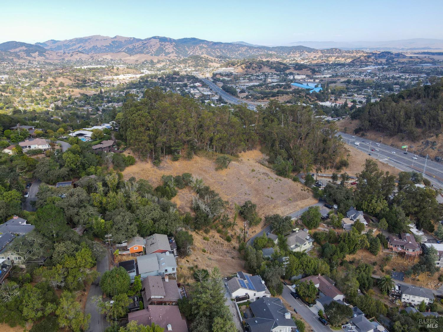
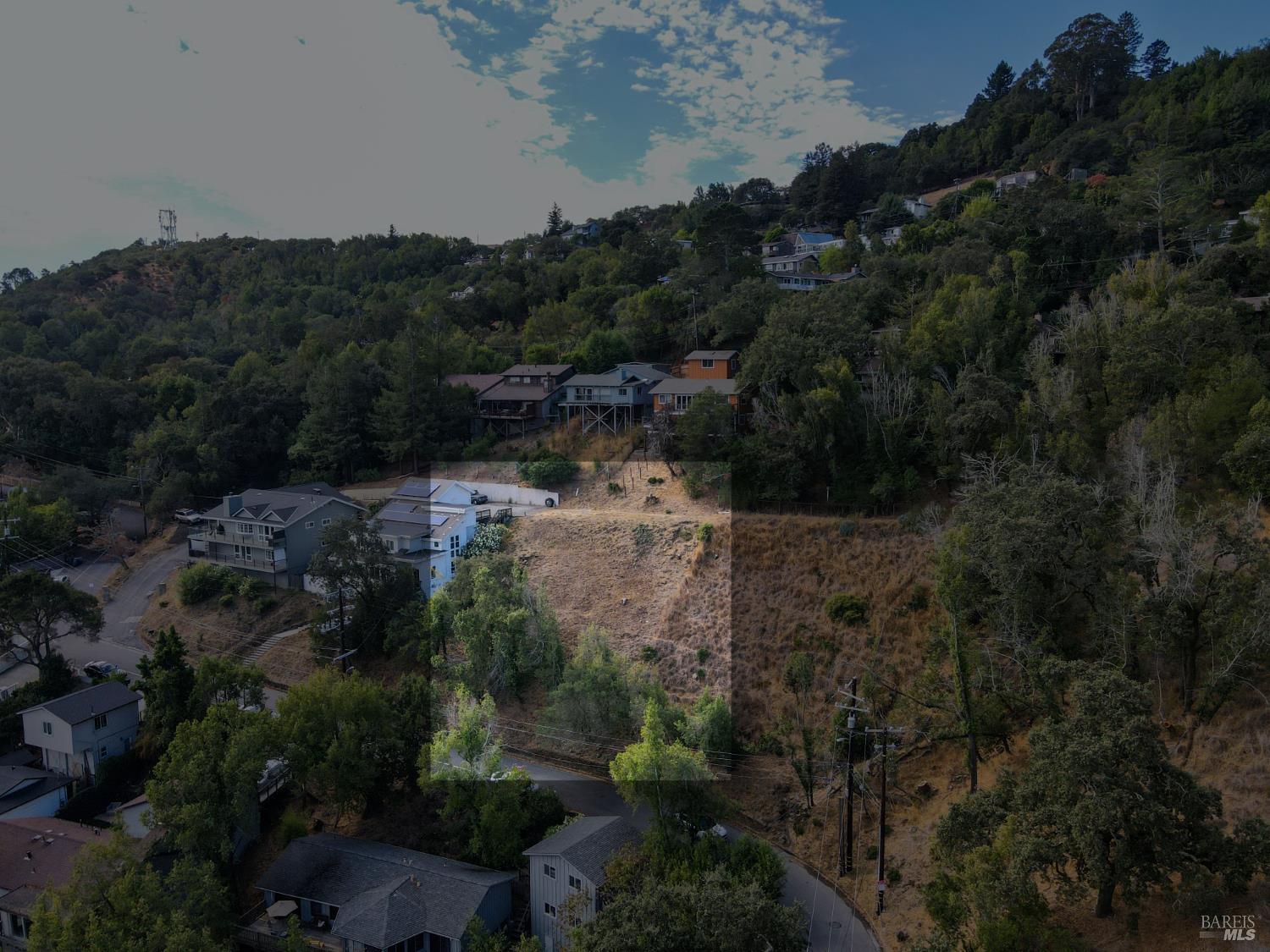
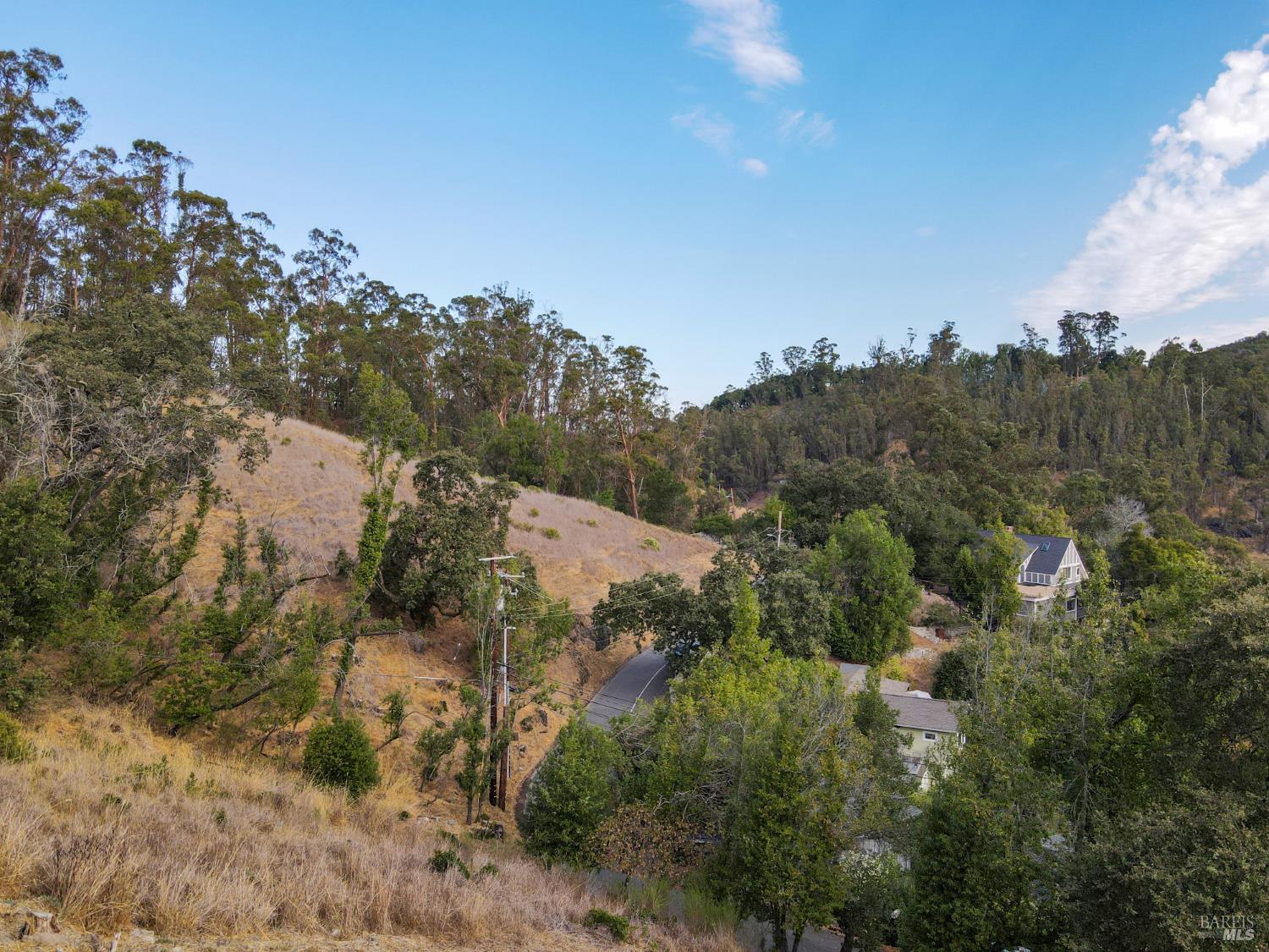
This aerial perspective continues to show the hillside community with homes positioned at various elevations. The landscape is dominated by dry vegetation and scattered trees, with residential structures featuring elevated foundations and distinct rooflines. Power lines are visible traversing the hillside.
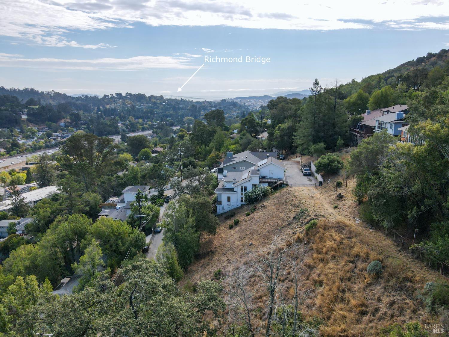
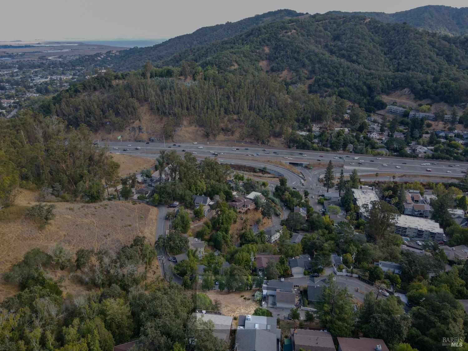
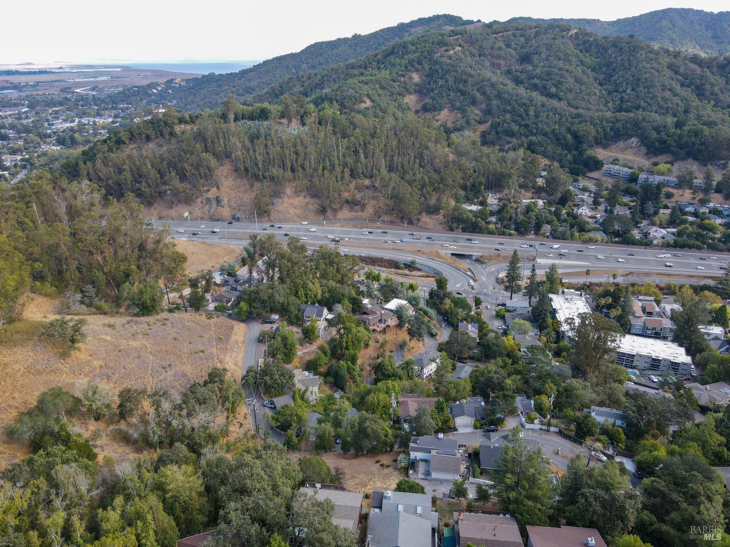
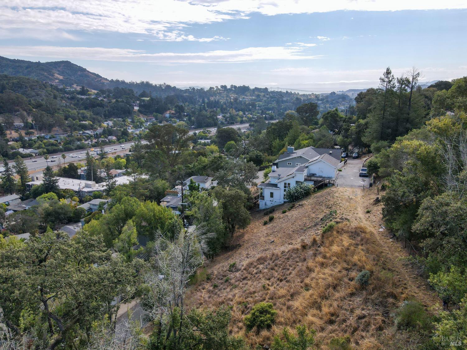
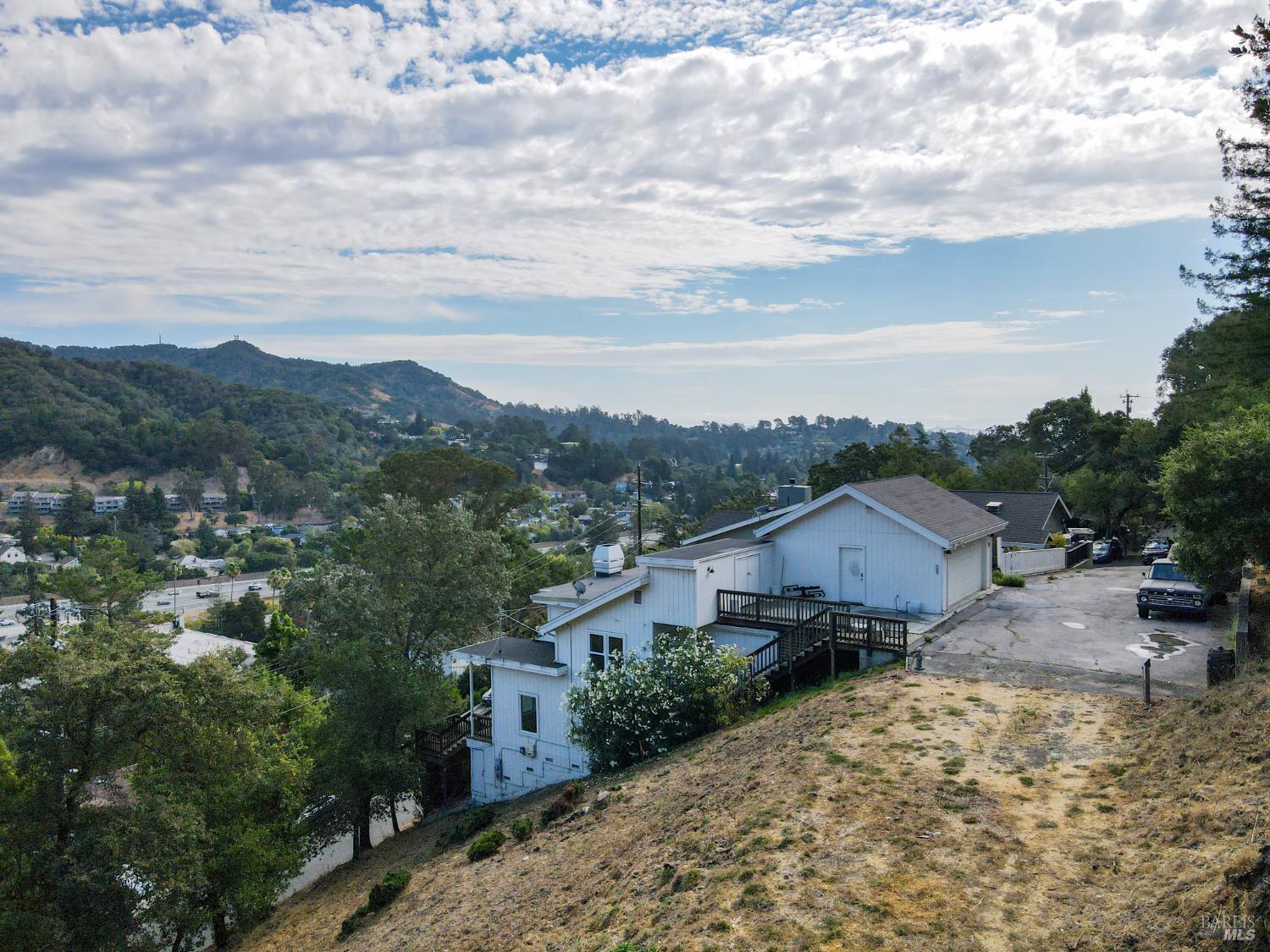
This aerial image provides a broader view of the neighborhood, highlighting the extensive greenery and hilly terrain. The Richmond Bridge is visible in the distance, spanning across a body of water. Homes are scattered along the slopes, with a prominent white house in the foreground.
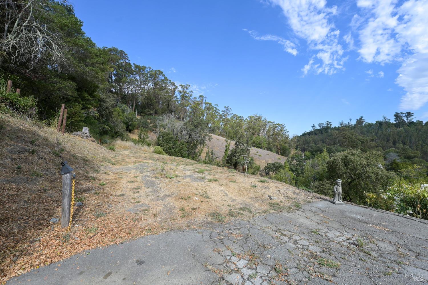
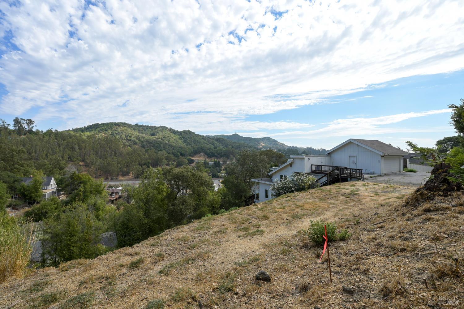
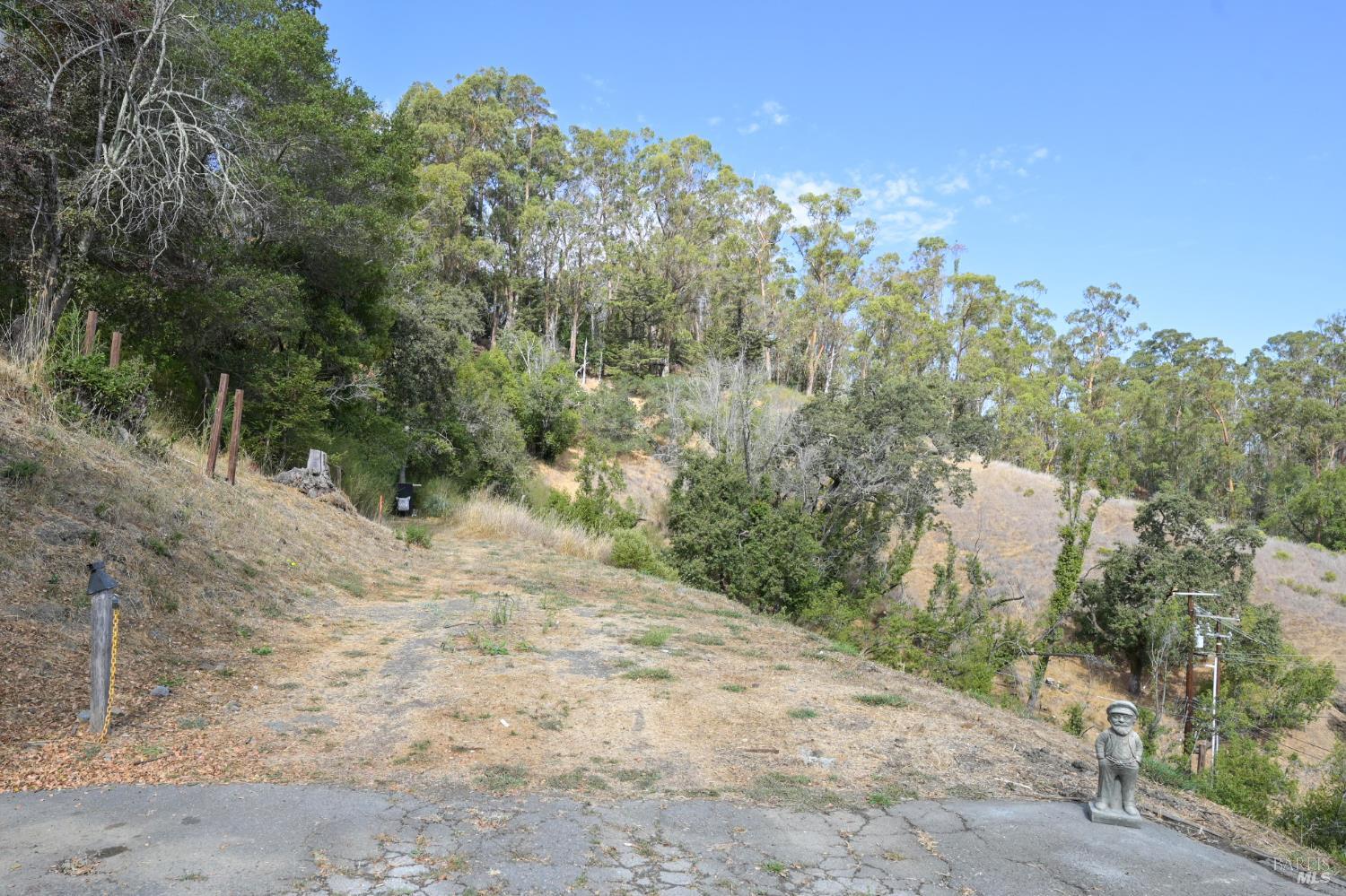
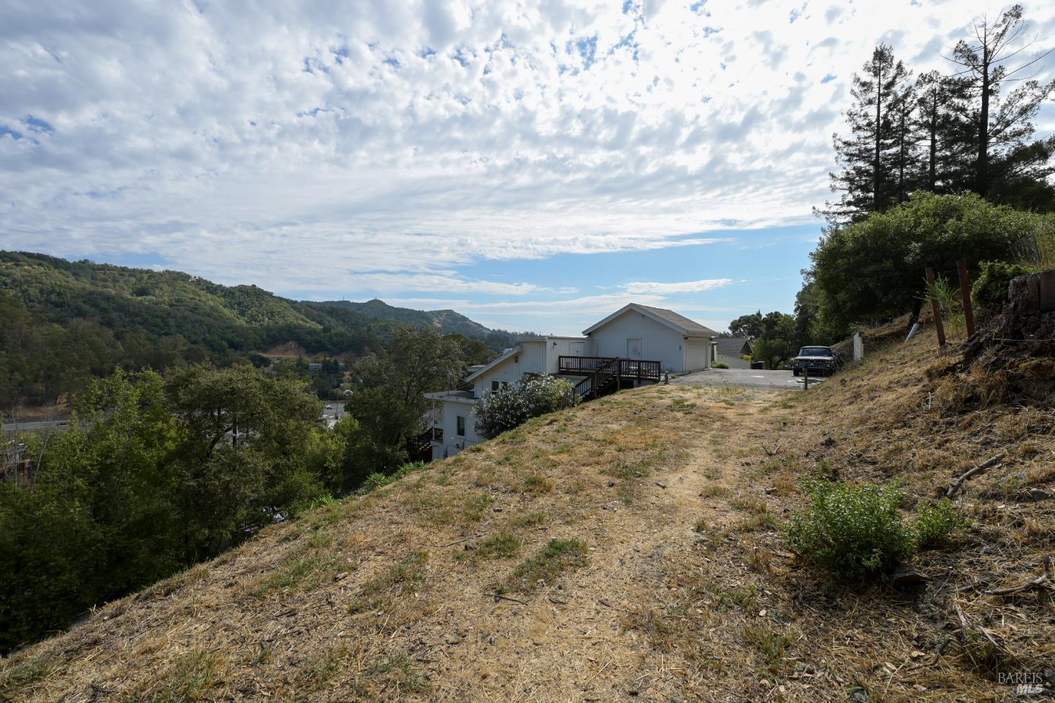
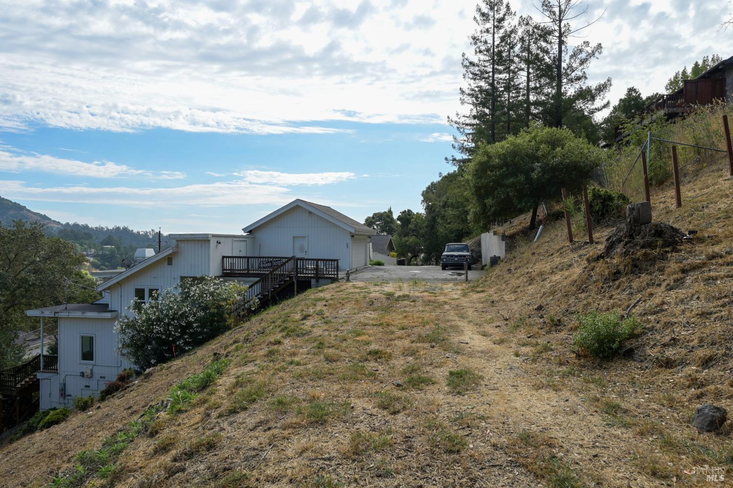
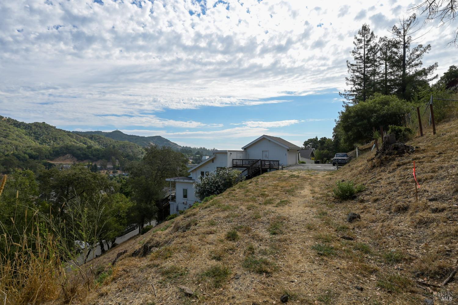
This ground-level view shows an undeveloped, sloping area covered in dry grass. A paved surface, showing signs of cracking, leads upwards, bordered by a rustic wooden post and chain. The surrounding area is densely wooded with a variety of trees.
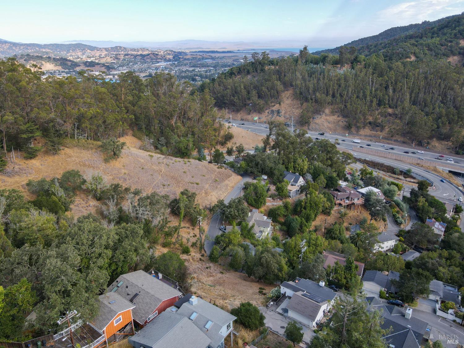
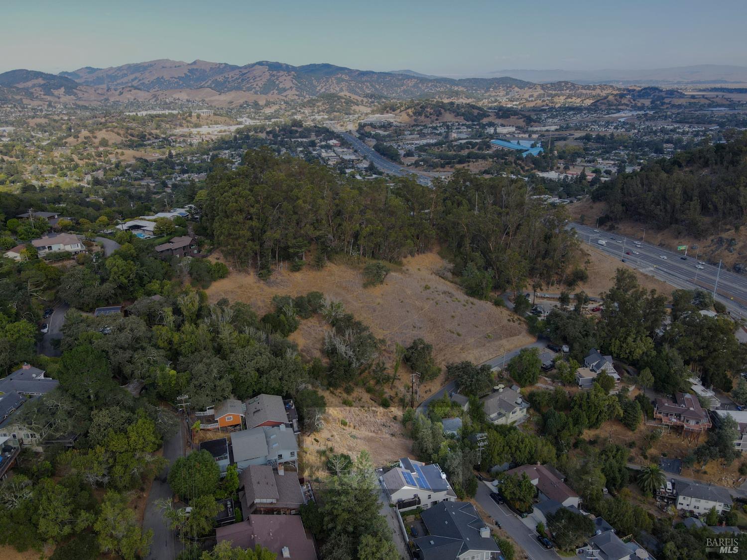
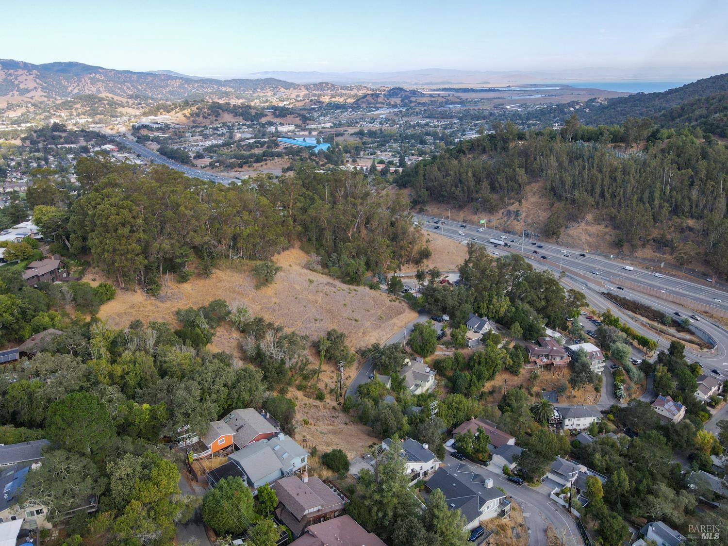
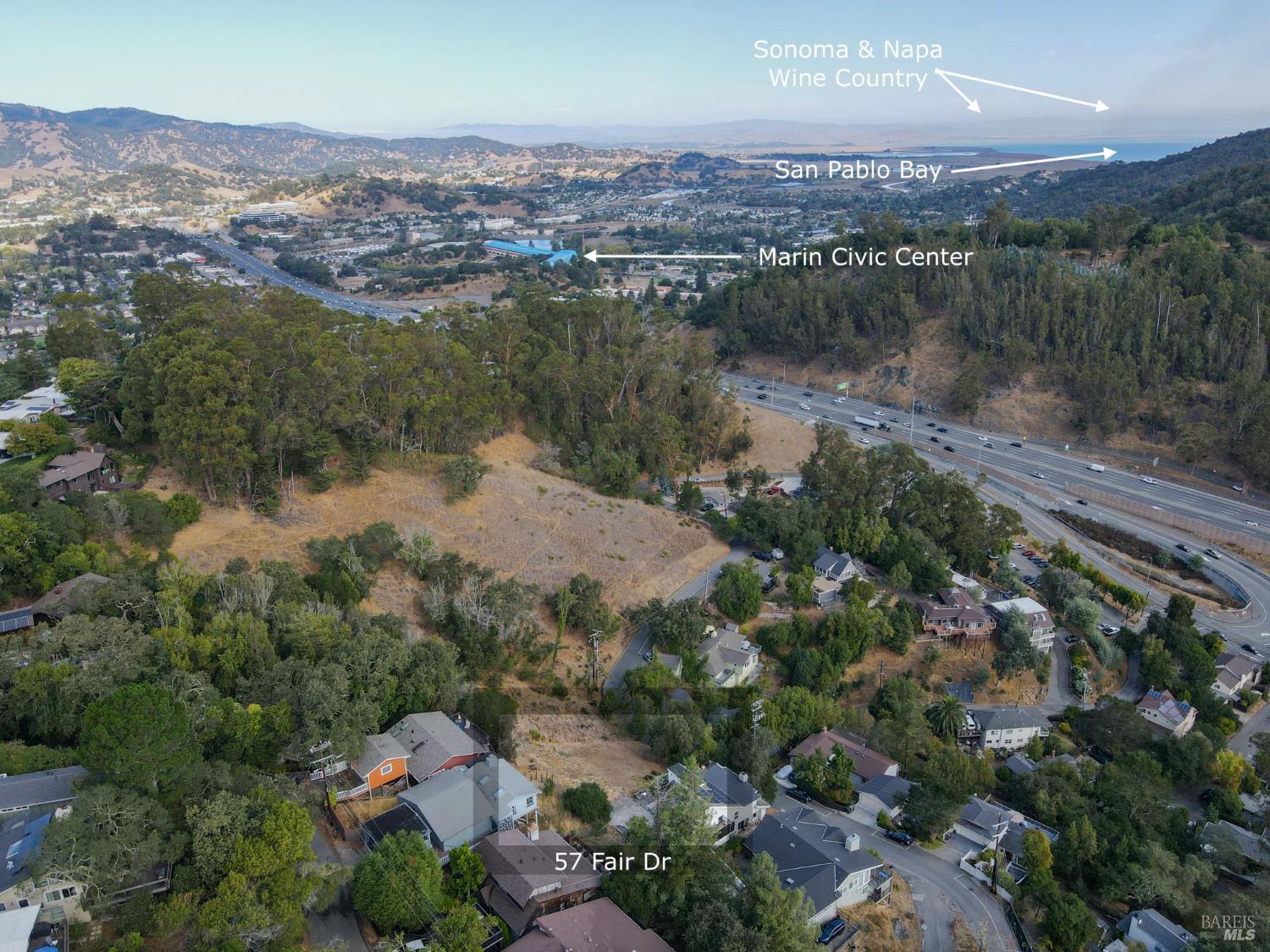
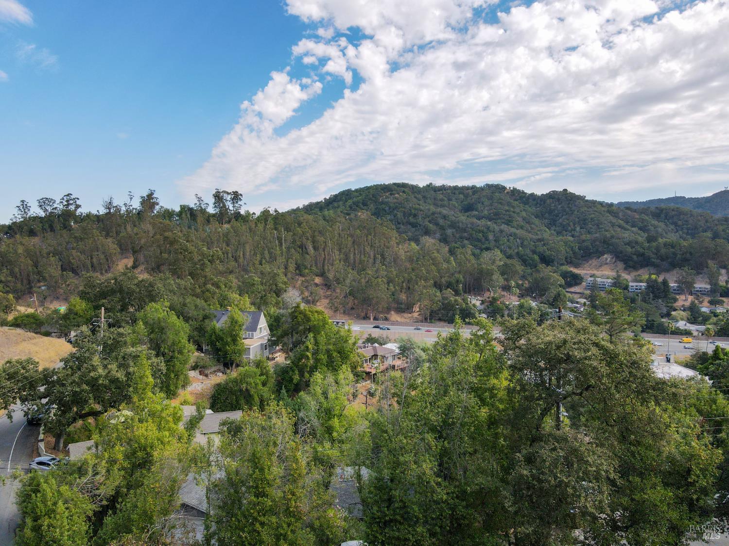
This aerial perspective offers a sweeping view of the developed landscape and surrounding natural environment. A multi-lane highway curves through the valley below, with a distant body of water and city skyline visible. Homes are integrated into the hilly terrain, interspersed with abundant vegetation.
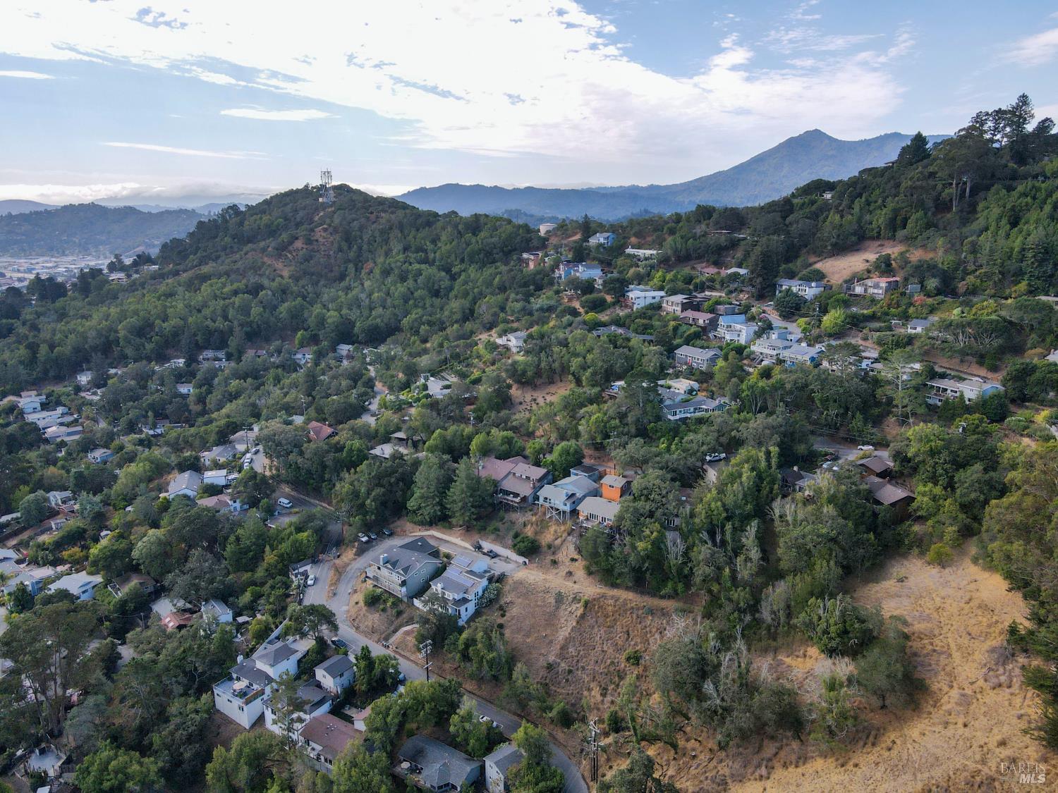
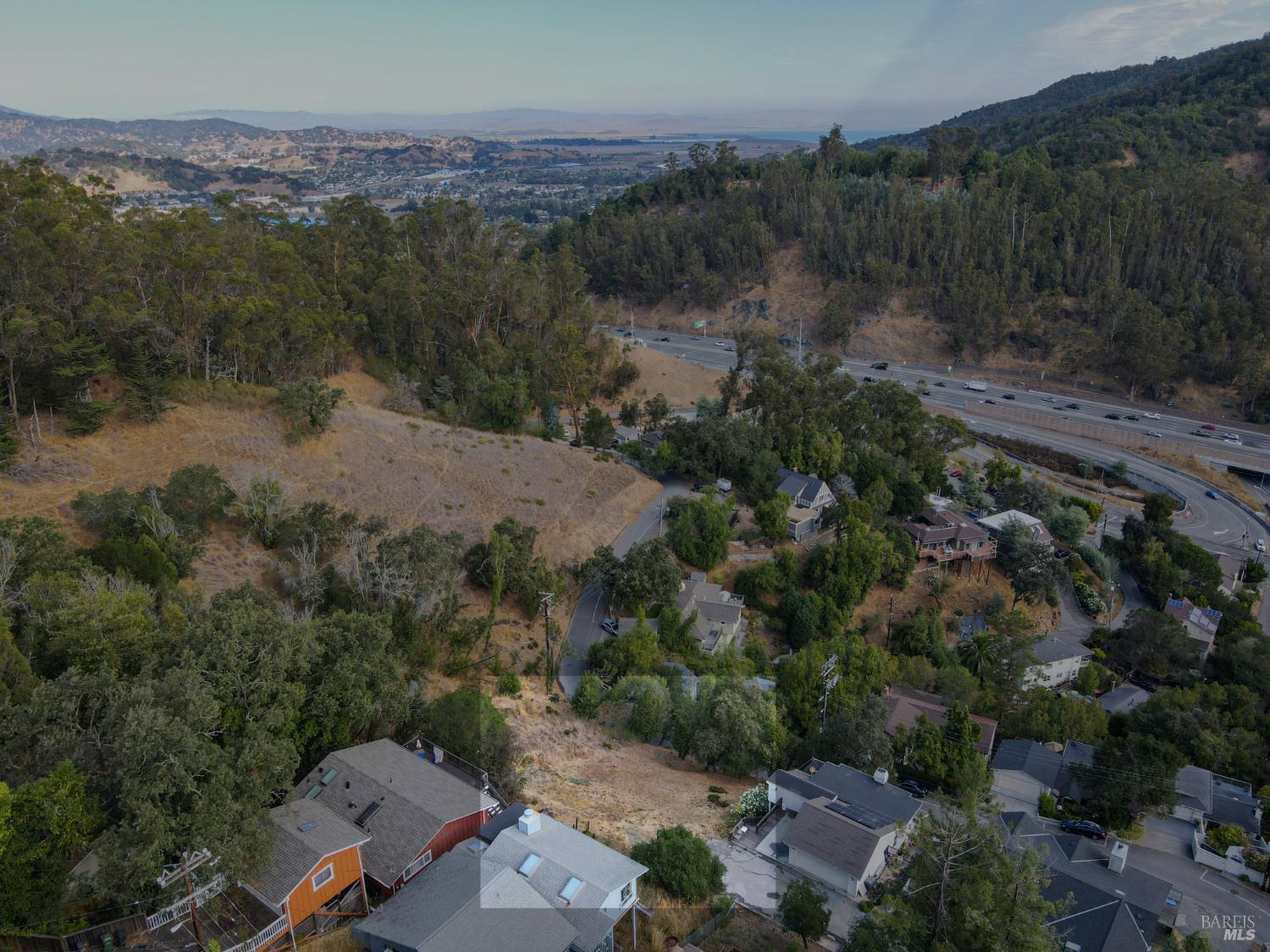
This aerial view showcases a hillside property with multiple homes nestled amongst mature trees. The terrain is steep, featuring dry grass and rugged slopes. A winding road provides access to the properties, with distant hills and a hazy cityscape visible in the background.
Embedding Input Text
57 Fair Drive, San Rafael, CA 94901. 6,778 sqft lot. Land. Nearest freeway: Redwood Highway (0.2 mi). The residential property is situated in a moderately dense neighborhood with homes interspersed among trees and vegetation. Directly behind the property, to the north and east, is dense woodland and other residential backyards. To the west, the property borders a large, undeveloped grassy area. A paved driveway leads from a through street to the property's south, and other houses are visible across this street. The lot appears to have a fairly regular shape and is of a comparable size to its immediate neighbors.. This aerial image provides a broader view of the neighborhood, highlighting the extensive greenery and hilly terrain. The Richmond Bridge is visible in the distance, spanning across a body of water. Homes are scattered along the slopes, with a prominent white house in the foreground.. This aerial view revisits the cluster of homes on the hillside, emphasizing the varying architectural styles and placements. Solar panels are evident on the roofs of several properties, indicating modern upgrades. The terrain remains rugged with significant tree cover.. This overhead view captures a parcel of land characterized by dry, sparse vegetation. Adjacent properties show dark-tiled roofs and solar panels. A paved area, possibly a driveway, is visible on the left, alongside a section of a home with blue siding.. This aerial perspective continues to show the hillside community with homes positioned at various elevations. The landscape is dominated by dry vegetation and scattered trees, with residential structures featuring elevated foundations and distinct rooflines. Power lines are visible traversing the hillside.. This ground-level view shows an undeveloped, sloping area covered in dry grass. A paved surface, showing signs of cracking, leads upwards, bordered by a rustic wooden post and chain. The surrounding area is densely wooded with a variety of trees.